
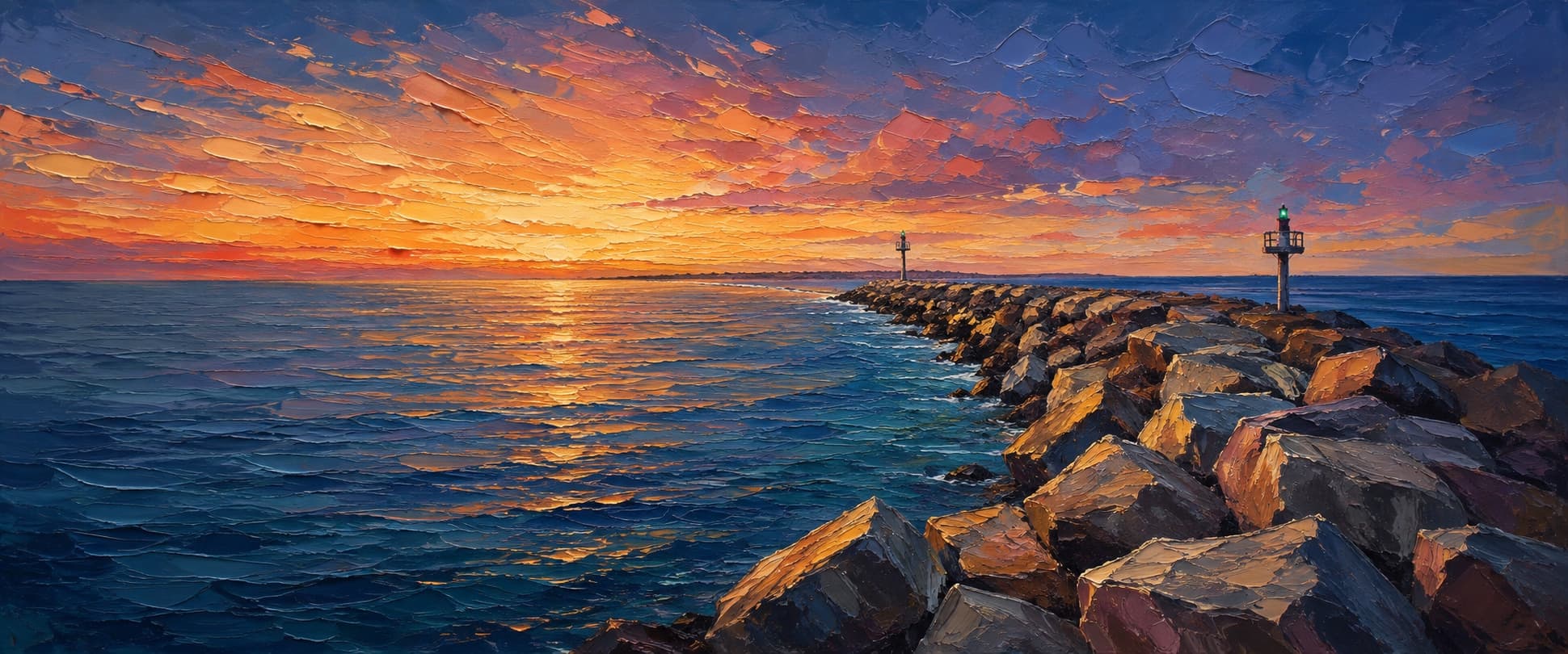
Channel Islands Harbor Jetty (north entrance jetty)
Oxnard, California


Fishing conditions
Loading…
National Weather Service (api.weather.gov)
Loading…
NOAA CO-OPS predictions, station 9411065
- Sunrise—
- Sunset—
Dawn/dusk and a moving tide (the hour around a high or low) typically bring the most active bite — worth timing a trip around whichever falls closest to first/last light.
Loading…
Loading buoy telemetry…
NOAA National Data Buoy Center
Rubble-and-stone entrance jetty forming the north side of the man-made harbor mouth. USACE describes two parallel 1,300-ft entrance jetties, a 2,300-ft detached offshore breakwater and a 3,200-ft entrance channel authorized to -20 ft MLLW. This is a sloping, wave-washed rock structure with navigation lights, not an elevated deck or a guaranteed public walkway.
Species & regulations
Live smelt or anchovy, squid strip or a small swimbait along the sandy harbor-side edge and entrance current.
Small swimbaits, plastics, squid or live bait tight to the riprap; avoid casting into deep cracks.
Squid, shrimp or small fish on bottom beside the rock toe; use pliers and avoid venomous spines when unhooking.
Sand crabs, mussel or bloodworm along the beach/rock transition and harbor-facing flank.
Shrimp, crab or mussel beside larger stones; handle teeth and dorsal spines carefully.
Bag/size limits sourced from CDFW's ocean sport fishing regulations — always double-check the current CDFW regs before keeping fish, as rules change.
Moon tracker
Recommended spots
- Light 3 / outer head
 Entrance head
The seaward head concentrates current at the channel mouth and is the highest-value structure position in this draft. It is also closest to navigation traffic and the most dangerous in swell; the rating reflects fish potential only.
- Harbor-facing mid-jetty flank

 Protected riprap edge
The harbor side is sheltered relative to the ocean face and puts bait beside hard structure and the entrance-channel edge. Boat traffic and current require short casts and constant awareness.
- Ocean-facing mid-jetty rocksExposed mixed drop
The seaward face has the strongest wave-driven exchange and uninterrupted rock edge, conditions that can attract bass, sculpin and perch. Exposure, surge and slippery armor stone make this conditional on calm swell.
- Shoreward rock-and-sand pocketShallow boulder / sand transition
The base transition between beach and riprap is the least exposed section and is the most plausible place for surfperch or halibut along a sandy edge. It is still a wave-washed rock surface, not a safety recommendation.
Landmarks
- Hollywood Beach / north shore connection
 access
Shoreward end near the Hollywood Beach side of the harbor entrance; use only routes currently signed open and do not assume the rock crest is maintained for pedestrians.
- Silver Strand Beach and parking
 amenity
USACE identifies Silver Strand Beach parking as a staging/access area for jetty repair work; parking and beach access are separate from permission to climb the jetty.
- North Jetty Light 5
 structure
USCG Light List position used as the shoreward endpoint in this draft.
- North Jetty Light 3structure
USCG Light List position at the seaward end; light and nearby channel traffic mark a navigation hazard.
- Channel Islands Harbor entrance channel
 hazard
The Corps-authorized channel is maintained to -20 ft MLLW; keep clear of vessels and never cast into the navigation lane.
- Armor-stone repair sectionshazard
USACE repair documents describe displaced armor stone and high-swell construction hazards; loose, wet rocks can shift and are slippery.
Rock + depth formation assessment
CDFW's public-pier definition and current listing rules should be checked before treating this jetty as license-exempt; no current CDFW record naming this north jetty was found in the direct query. Assume a California ocean fishing license is required unless current signage or CDFW confirms otherwise. All size, bag, season, gear and report-card rules apply, and access may close for safety or maintenance.
The north jetty is a continuous sloping riprap arm between Hollywood Beach and the harbor mouth. The entrance channel is authorized to -20 ft MLLW, but no defensible point soundings at the rock toe were extracted; categories below are deliberately broad.
A jetty's rock pile is the structure — there's no deck, just boulders stacked out into the water. Snags happen when your line or hook drops into a gap between rocks instead of open water. Rock sitting shallow, close to the surface, is the easiest to hang up on, and gets worse as the tide drops and exposes more of it. Rock that gives way to deeper water has less exposed structure to catch on, but a hook that does snag there is harder to pull free. Sandy gaps between rock sections are the clearest, lowest-snag water on a jetty.
The shallowest rock at Channel Islands Harbor Jetty (north entrance jetty) sits on the channel-facing flank near the base — that's the highest snag risk here, and it gets worse as the tide drops and exposes more of it.
- Channel-facing flank · shallow bouldershallow rock, highest snag risk — worse as the tide drops
Shoreward riprap and beach transition; exact toe depth not confidently resolved.
- Channel-facing flank · mixed droprock into a slope, moderate snag risk
Harbor-facing flank beside the approach; structure meets dredged/sandy water but no point depth is claimed.
- Channel-facing flank · deep water · ~20 ftdeep water at the rocks, less exposed but harder to free gear
Adjacent entrance channel is authorized to -20 ft MLLW; this is a channel-scale reference, not a rock-toe sounding.
- Ocean-facing flank · mixed droprock into a slope, moderate snag risk
Exposed rock-to-open-water edge; exact offshore slope is not confidently resolved.
- Ocean-facing flank · deep waterdeep water at the rocks, less exposed but harder to free gear
Outer head meets the active entrance and strongest current; no numeric depth asserted.
- Outer tip · deep waterdeep water at the rocks, less exposed but harder to free gearVessel traffic
Planning grid around Light 3 and channel mouth; navigation hazard dominates.

Reference sources
- U.S. Army Corps of Engineers — Channel Islands Harbor navigation project
- USACE Channel Islands Harbor Breakwater and Jetty Repair Environmental Assessment (2019)
- NOAA ENC Harbour MapServer
- USCG Light List, Volume 6 (2025), Channel Islands Harbor lights
- NOAA Coast Pilot 7
- NOAA NCEI H09666 survey metadata (Port Hueneme and Channel Islands Harbor)
- NOAA Port Hueneme tide station 9411065
- CDFW California ocean fishing regulations
- CDFW public fishing piers, jetties and breakwaters
- OEHHA fish advisories and safe eating guidelines
- Visit Oxnard — sportfishing and jetty/shore fishing overview