
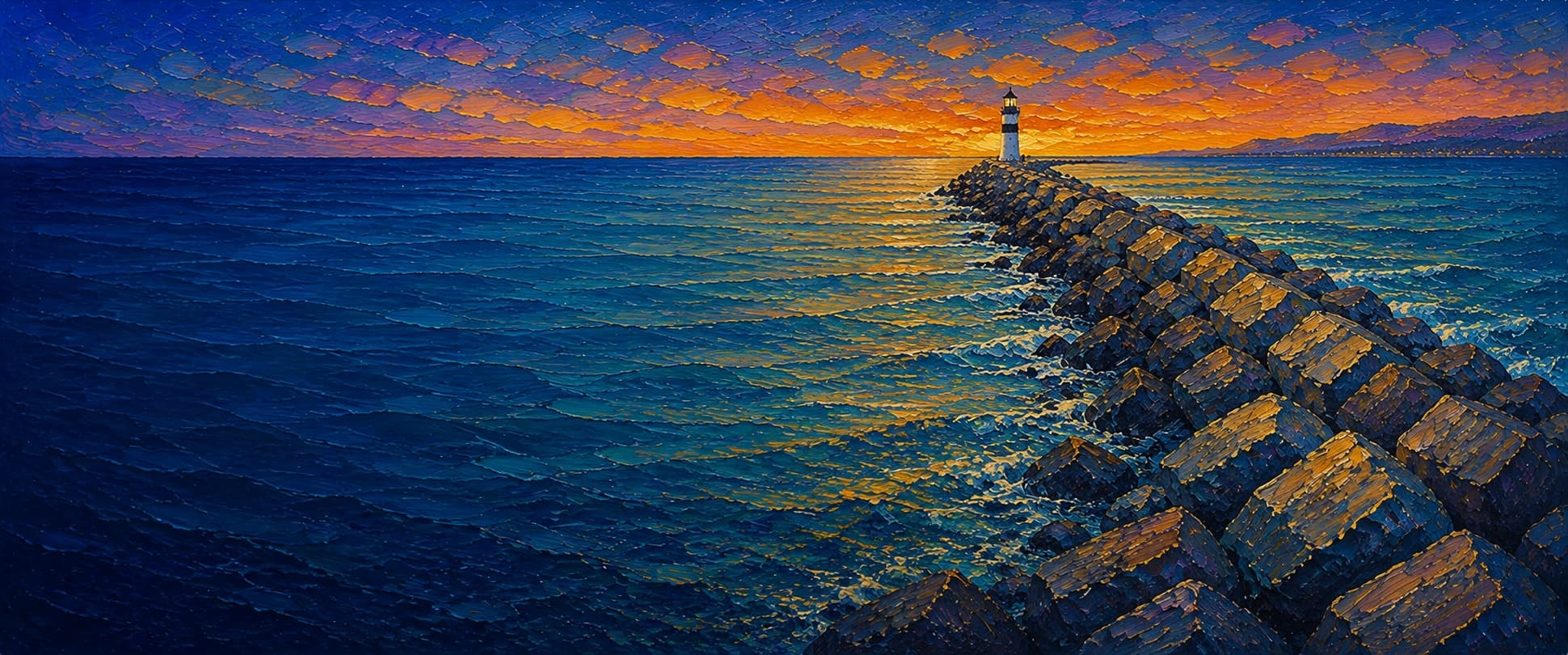
Angels Gate / San Pedro Breakwater
San Pedro, Los Angeles, California


Fishing conditions
Loading…
National Weather Service (api.weather.gov)
Loading…
NOAA CO-OPS predictions, station 9410660
- Sunrise—
- Sunset—
Dawn/dusk and a moving tide (the hour around a high or low) typically bring the most active bite — worth timing a trip around whichever falls closest to first/last light.
Loading…
Loading buoy telemetry…
NOAA National Data Buoy Center
Historic, permeable rubble-mound San Pedro Breakwater: an approximately 11,152-ft curved rock arm from Cabrillo Beach to Angels Gate Light at the Los Angeles Channel entrance. USACE engineering history describes 8- to 10-ton stone in the rubble mound and granite blocks up to 20 tons at the crest. It is not an elevated fishing pier and City guidance says the breakwater is closed to public access.
Species & regulations
Historic San Pedro Breakwater census work recorded kelp bass. If fishing lawfully from a vessel, work a small swimbait, squid or live bait beside—not into—the armor-stone edge.
⚠ OEHHA's Santa Monica Pier-to-Seal Beach Pier advisory lists kelp bass at 1 serving/week for both advisory population groups; eat only skinless fillet and follow the current poster.
Historic San Pedro Breakwater census work recorded barred surfperch. Sand crabs, mussel or bloodworm are conventional baits for lawful fishing around the beach-to-rock transition.
⚠ OEHHA's Santa Monica Pier-to-Seal Beach Pier advisory places surfperch in the 2-servings/week group for both advisory population groups; follow the current poster and preparation guidance.
The adjacent Cabrillo Pier fishery reports halibut over its sandy/soft bottom. A lawful vessel approach would use a live bait, squid strip or small swimbait along sand beside, not over, the rock toe.
⚠ OEHHA's Santa Monica Pier-to-Seal Beach Pier advisory lists California halibut at 2 servings/week for both advisory population groups; eat only skinless fillet and follow the current poster.
Cabrillo Pier reports scorpionfish among the nearby rock-frequenting catch. Squid or shrimp on a bottom rig is a conventional lawful boat-side presentation; use pliers and avoid venomous spines.
⚠ OEHHA's Santa Monica Pier-to-Seal Beach Pier advisory lists California scorpionfish at 1 serving/week for both advisory population groups; eat only skinless fillet and follow the current poster.
White croaker dominate catches at the adjacent Cabrillo Pier and take small anchovy or squid baits readily, but release rather than retain due to the health advisory.
⚠ OEHHA's Santa Monica Pier-to-Seal Beach Pier advisory says DO NOT EAT white croaker caught in this area because of contaminant concerns.
Bag/size limits sourced from CDFW's ocean sport fishing regulations — always double-check the current CDFW regs before keeping fish, as rules change.
Moon tracker
Recommended spots
- Angels Gate outer end (boat-side reference)
 Lighthouse end / channel-adjacent rock
The outer end combines the full rock arm with the Los Angeles Channel entrance and is the clearest deep/open-water structure reference. It is also the least appropriate place for unpermitted rock access because of waves, restricted infrastructure and commercial vessels.
- Mid-breakwater ocean face (boat-side reference)

 Rubble-mound structure edge
The documented permeable armor-stone face is the continuous hard structure along this section. Historic fish census work at San Pedro Breakwater recorded rock-associated fish, but no public rock access or current zone-specific depth is claimed.
- Harbor-side rock edge (boat-side reference)Protected-side structure / navigation awareness
Hard breakwater habitat is present, while the enclosed Cabrillo-side fishery has documented soft bottom and a mix of bay and rock-frequenting species. Commercial-harbor navigation and access restrictions outweigh any shore-fishing appeal.
- West-end outer rock edge (boat-side reference)Outer rock / near Cabrillo Beach
The breakwater begins beside Cabrillo Beach and the adjacent public-pier fishery reports sandy and shallow inner water. This is only a planning reference for lawful boat-based fishing; it is not an accessible shore spot.
Landmarks
- Cabrillo Beach / west breakwater end
 access
Mapped west end of the breakwater near Cabrillo Beach. The adjacent beach and Cabrillo Beach Fishing Pier are public destinations, but the City Coastal Park Guide says public access to the breakwater itself is not permitted.
- Cabrillo Beach Fishing Pier (separate structure)
 amenity
The City guide identifies this 1969 public fishing pier as the lawful shore-fishing alternative near the breakwater; do not conflate its access with access to the rock arm.
- Uneven rubble-mound crest
 hazard
Large, uneven armor stone rather than a deck. USACE describes a permeable rubble mound; access is closed and wave-washed rocks add a serious fall/entrapment hazard.
- Angels Gate Lighthouse / Los Angeles Channel entrance
 structure
Active 1913 lighthouse at the outer end of the San Pedro Breakwater and beside a major commercial navigation entrance. Keep clear of vessel traffic; the lighthouse is not public access.
- NOAA Angels Gate PORTS stationamenity
Nearby NOAA PORTS meteorological station 9410647 (AGXC1), useful for local conditions but not the tide-prediction station used by this record.
Rock + depth formation assessment
Do not rely on the public-pier license exemption here: the City of Los Angeles Coastal Park Guide says public access to the breakwater is not permitted. Cabrillo Beach Fishing Pier is the nearby public pier identified by the City; CDFW notes that access to listed sites can change. Any lawful boat- or shore-based fishing is subject to normal California license, harbor, navigation, species and health-advisory rules.
The San Pedro Breakwater curves east from Cabrillo Beach to Angels Gate Light. It is continuous rock structure rather than a deck. Chart/PORTS material establishes the adjacent major harbor entrance, but no defensible current sounding was extracted along each rock toe; categories describe broad structural character and deliberately omit numeric depths.
A jetty's rock pile is the structure — there's no deck, just boulders stacked out into the water. Snags happen when your line or hook drops into a gap between rocks instead of open water. Rock sitting shallow, close to the surface, is the easiest to hang up on, and gets worse as the tide drops and exposes more of it. Rock that gives way to deeper water has less exposed structure to catch on, but a hook that does snag there is harder to pull free. Sandy gaps between rock sections are the clearest, lowest-snag water on a jetty.
The shallowest rock at Angels Gate / San Pedro Breakwater sits on the ocean-facing flank near the base — that's the highest snag risk here, and it gets worse as the tide drops and exposes more of it.
- Channel-facing flank · sandy pocketsandy gap, lowest snag risk
Cabrillo-side context includes sand and soft bottom beside the west end; this is a broad substrate transition, not a mapped depression or walk-in fishing claim.
- Channel-facing flank · mixed droprock into a slope, moderate snag risk
Continuous rubble-mound edge beside harbor water. No point depth assigned without an extracted modern sounding.
- Channel-facing flank · mixed droprock into a slope, moderate snag riskVessel traffic
Channel-adjacent lighthouse end; navigation traffic and restricted infrastructure prevent treating this as a shore-access spot.
- Ocean-facing flank · shallow bouldershallow rock, highest snag risk — worse as the tide drops
Cabrillo Beach-side transition where armor stone meets the beach/nearshore setting; no numeric depth asserted.
- Ocean-facing flank · mixed droprock into a slope, moderate snag risk
Long exposed rubble-mound face. Category is structure-based and should not be read as a current bathymetric profile.
- Ocean-facing flank · mixed droprock into a slope, moderate snag riskVessel traffic
Outer end beside the Los Angeles Channel entrance; changing vessel wakes, waves and access controls are the dominant operational concerns.
- Outer tip · mixed droprock into a slope, moderate snag risk
Approximate grid off the mapped light-end footprint. No tip-centered sounding was sourced, so no depth figure is implied.

Reference sources
- City of Los Angeles Coastal Park Guide — Cabrillo Beach / Los Angeles Harbor Breakwater
- USACE Los Angeles and Long Beach Harbors review plan (San Pedro Breakwater length)
- USACE coastal engineering history, Table 23 (San Pedro Breakwater construction)
- USACE East San Pedro Bay ecosystem-restoration study (breakwater history and materials)
- OpenStreetMap mapped breakwater footprint, way 1312790328
- NOAA CO-OPS & NWS station list (Angels Gate 9410647 and Los Angeles 9410660)
- NOAA Tides & Currents — Los Angeles tide station 9410660
- NOAA San Pedro Breakwater fish census, 1977–1978
- Pier Fishing in California — Cabrillo Pier local fishing report
- Ports of Los Angeles and Long Beach Year 2000 baseline fish study
- CDFW Southern California ocean sport-fishing regulations
- CDFW 2026 ocean sport-fishing regulations booklet
- OEHHA Santa Monica Beach south of Santa Monica Pier to Seal Beach Pier advisory
- CDFW public fishing piers, jetties and breakwaters information