
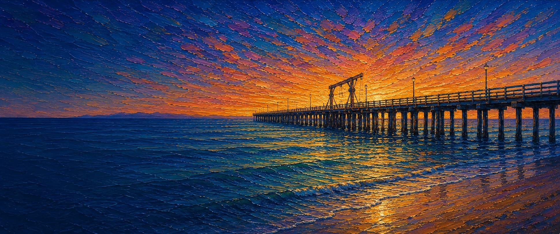
Goleta Pier (Goleta Beach Fishing Pier)
Goleta, California

Fishing conditions
Loading…
National Weather Service (api.weather.gov)
Loading…
NOAA CO-OPS predictions, station 9411340
- Sunrise—
- Sunset—
Dawn/dusk and a moving tide (the hour around a high or low) typically bring the most active bite — worth timing a trip around whichever falls closest to first/last light.
Loading…
Loading buoy telemetry…
NOAA National Data Buoy Center
Long, narrow public fishing pier projecting from the sandy Goleta Beach County Park sand spit. The Wildlife Conservation Board record says the original 630-ft World War II military pier was extended to 1,490 ft to reach deeper water. Local pier documentation describes a wood deck with 42-inch railings, lights, fish-cleaning facilities, and a sling/launch system for small boats; the pier is beside the Beachside Bar & Grill and Goleta Slough mouth rather than a T-end amusement platform.
Species & regulations
Small Sabiki-style multi-hook rigs or strips of squid fished through the water column, especially near the outer rail; local reports call mackerel one of Goleta's dependable catches.
Sand crabs, mussel, or bloodworms on a light high/low rig near pilings, the channel seam, or the shallow beach-side rail.
Fish a legal live bait or natural-bait rig close to the sandy bottom, concentrating on the deeper outer and mid-pier water and current seams.
Small sabiki or baited feather rigs under a float through the upper water column; schools can provide bait for larger predatory fish.
Commonly takes squid, mussel, or cut bait on the bottom, but release is prudent because of the Southern California consumption advisory.
⚠ OEHHA's Southern California DDT/PCB advisory covers white croaker from Santa Monica south through the Seal Beach area; consult the current OEHHA map/advisory before eating any white croaker from Goleta and consider catch-and-release.
Bag/size limits sourced from CDFW's ocean sport fishing regulations — always double-check the current CDFW regs before keeping fish, as rules change.
Moon tracker
Recommended spots
- Outer end rail
 Deepest accessible water
The 1979 extension was specifically intended to provide access to deeper water. The local report identifies the outer pier as reliable for mackerel and surfperch, making it the strongest all-around section when wind, swell, and crowding permit.
- Mid-pier sling / piling line

 Structure edge
The boat-launch sling and long run of pilings create the clearest structure along an otherwise sandy pier. Fish alongside the piling line while yielding to launch activity; local reports emphasize rockfish/calico-type structure fish and surfperch here.
- Slough/channel-side railCurrent seam
The channel beside the park can concentrate bait and croaker/surfperch, but the same current and boat/debris exposure make bottom rigs harder to control. Fish a modest distance off the rail and avoid active launch lanes.
- Beach-side base railShallow sandy surf
The park sits on a sandy, rock-free beach; the base is the most practical zone for surfperch and croaker presentations with sand crabs, mussel, or worms, though it is shallower and receives more family foot traffic.
Landmarks
- Goleta Beach County Park / Sandspit Road entrance
 access
Main landward access from Sandspit Road (5986 Sandspit Road). County park access, parking, and the paved coastal path are adjacent; park hours and fees can change.
- Beachside Bar & Grill
 amenity
Restaurant/snack-bar complex at the foot of the pier documented in County and Coastal Commission park descriptions.
- County park restrooms and showersamenity
Public restrooms and showers are listed for Goleta Beach County Park; exact open hours should be checked on site.
- Small-boat launch sling / launch area
 structure
The local pier report describes a mid-pier sling used for private and university craft. Keep clear of active launch operations and follow posted instructions.
- Goleta Slough mouth and tidal channel
 hazard
The pier lies beside the intermittently open Goleta Slough outlet and a rock-revetment/channel edge. Currents, debris, and boat traffic can be stronger here than on the open beach side.
Vegetation / growth assessment
County/Coastal Commission descriptions characterize Goleta Beach as a sandy, rock-free shoreline, and the local pier history notes that the 1982–83 El Niño storms removed much of the area's kelp forest, which has not re-established. No current pier-scale multi-date imagery or survey was available to verify piling algae/mussel coverage, so the map uses light baseline zones only and does not infer an absence of biofouling.
Piers grow algae, mussels, and barnacles on their pilings and along the deck edges over time — that build-up is what this section tracks. The more growth in a stretch, the easier it is for your hook, sinker, or line to catch on it and get stuck, which is one of the most common ways beginners lose tackle. Heavier growth isn't a reason to avoid a spot — it often holds bait and structure fish like — just expect to snag more and re-tie more often there.
Goleta Pier (Goleta Beach Fishing Pier)'s heaviest checked growth is still only light, on the left flank (its full length), the right flank, mid-structure, and the outer end — snag risk from vegetation is low across the structure right now.
- Right flank · noneunconfirmed, not yet assessed
No side-specific vegetation observation was independently verified here; gridded as checked, none confirmed.
- Right flank · noneunconfirmed, not yet assessed
No side-specific vegetation observation was independently verified here; gridded as checked, none confirmed.
- Left flank · lightsome growth, light snag risk
No current, citable surface-canopy observation was found; sandy open-water setting supports only a cautious baseline.
- Right flank · lightsome growth, light snag risk
Channel/revetment side may collect organic material and piling fouling, but available sources do not resolve its extent.
- Outer end · lightsome growth, light snag risk
Approximate end width from the mapped footprint; no independent canopy or fouling measurement was found.

Reference sources
- Pier Fishing in California — Goleta Pier
- California Wildlife Conservation Board — Goleta Fishing Pier Improvements (1999 minutes)
- Goleta Beach County Park — California State Parks boating facility listing
- California Coastal Commission — Goleta Beach County Park documents
- Mapcarta / OpenStreetMap Goleta Pier (way 827428038)
- NOAA Tides & Currents — Santa Barbara station 9411340
- CDFW — California recreational ocean fishing regulations
- CDFW — California ocean fishing regulations by location
- CDFW — public pier license exemption guidance
- OEHHA — California fish advisories
- Santa Barbara County / Goleta Beach Park information