
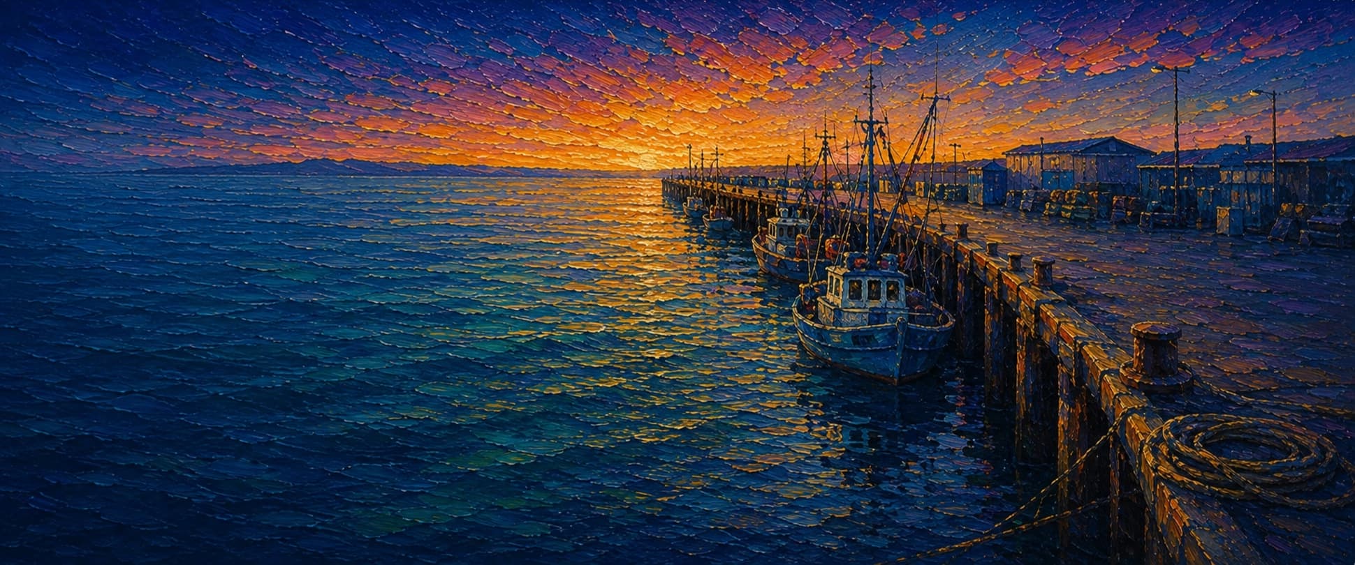
Monterey Municipal Wharf 2 (Wharf #2)
Monterey, California

Fishing conditions
Loading…
National Weather Service (api.weather.gov)
Loading…
NOAA CO-OPS predictions, station 9413450
- Sunrise—
- Sunset—
Dawn/dusk and a moving tide (the hour around a high or low) typically bring the most active bite — worth timing a trip around whichever falls closest to first/last light.
Loading…
Loading buoy telemetry…
NOAA National Data Buoy Center
A broad, pile-supported working wharf forming the east side of Monterey Harbor rather than a narrow pleasure pier. Pier Fishing in California says it was built in 1926 and repaired in 1983; a December 18, 2025 U.S. Army Corps public notice says the wharf still serves commercial boats, covers about 2.5 acres, has an asphalt deck, and required repairs in a 2024 condition survey. Fishing access is not uniform: the harbor-facing south side is posted no-fishing for much of the inshore half, and the far end includes a commercial working zone that also restricts angling.
Species & regulations
The local report puts halibut in the mid-shallow section and recommends live anchovy, small smelt, or other small live bait near bottom; grunion runs at the beach can improve the shallow bite.
The outer public rail is the classic mackerel zone. The local report recommends Sabiki-style bait rigs or small bait strips worked through mid-depths when schools pin anchovies against the wharf.
Often mixed above the Pacific mackerel schools at the outer section; smaller-hook bait rigs or Sabikis fished higher in the water column are the standard local approach.
Fish a float or multi-hook leader with pile worm or shrimp pieces at mid-depth from mid-pier to the outer rail, matching the local report's jacksmelt setup.
A small piece of anchovy or sea worm fished mid-depth around the piling transition is the setup Pier Fishing in California specifically calls out for walleye surfperch here.
⚠ OEHHA's statewide California coastal advisory applies here because no Wharf #2-specific advisory was found. Women 18-49 and children 1-17: up to 2 servings/week. Women 50+ and men 18+: up to 2 servings/week.
Fish pile worms or mussel close to, but not into, the wharf pilings around the mid-pier structure zone where local anglers reported pile perch mixed with rainbow and silver surfperch.
⚠ OEHHA's statewide California coastal advisory applies here. Women 18-49 and children 1-17: up to 2 servings/week. Women 50+ and men 18+: up to 6 servings/week.
Bag/size limits sourced from CDFW's ocean sport fishing regulations — always double-check the current CDFW regs before keeping fish, as rules change.
Moon tracker
Recommended spots
- Mid-pier piling and eelgrass transition
 Piling structure / perch and juvenile rockfish
Pier Fishing in California says the sand gives way to small eelgrass beds and then, about 200 yards from shore, to the shale-reef zone. Around the pilings this section can hold walleye and silver surfperch, pile perch, juvenile rockfish, cabezon, lingcod, and summer-fall kelp growth, making it the most structurally interesting public section.
- Outer north rail before the no-fishing lineDeepest public water / pelagic schools
The report identifies mid-pier to the end as the best area for pelagics and smaller surfperch. Pacific mackerel, jack mackerel, sardines, jacksmelt, and occasional herring push through here, but anglers must stop short of the posted commercial no-fishing end.
- Mid-wharf north rail over the flatfish zone

 Flatfish and ray water
A short distance beyond the beach, the report describes sanddab, C-O turbot, starry flounder, sand sole, California halibut, thornback rays, bat rays, and even electric rays over the still-sandy bottom.
- North-side inshore surf edgeShallow surf and sand-dollar bottom
The local report says the north side is the main fishable rail and that the foot of the wharf borders sandy shallows with sand dollars, where barred and calico surfperch dominate and halibut can move in when grunion run.
Landmarks
- Wharf 2 entrance at Figueroa Street
 access
Landward access where Figueroa Street runs directly onto Municipal Wharf 2; NOAA benchmark descriptions place the wharf base here.
- Monterey Peninsula Yacht Club
 amenity
Named at the wharf base in OSM and referenced in NOAA benchmark descriptions as a base-area landmark.
- Harbormaster's Officeamenity
OSM maps the Harbormaster's Office on the marina side of Wharf 2; useful orientation point but not part of the main fishing rail.
- The Sandbar and Grillamenity
Mid-wharf restaurant mapped in OSM; nearby deck width change corresponds to the section the local fishing report describes as partly restricted on the south side.
- Monterey Fish Co / abalone operation
 structure
Working fish/abalone area at the outer end. The local report and OSM both place commercial seafood operations here, which is one reason the end has posted no-fishing limits beyond a line.
- Outer commercial no-fishing line
 hazard
Pier Fishing in California states the far end is primarily a working area for commercial boats and marked no fishing; fishable water is just inshore of this line, not beyond it.
Vegetation / growth assessment
The reviewed fishing source gives a more detailed habitat description than most piers: sand and sand dollars near shore, small eelgrass beds farther out, and a shale reef about 200 yards from the beach that supports bull and giant kelp. It also notes mussel-heavy pilings and seasonal kelp buildup around the wharf. What it does not provide is a current side-by-side survey by flank, so the zones below map the documented progression in cautious, generalized form rather than claiming a measured left/right difference.
Piers grow algae, mussels, and barnacles on their pilings and along the deck edges over time — that build-up is what this section tracks. The more growth in a stretch, the easier it is for your hook, sinker, or line to catch on it and get stuck, which is one of the most common ways beginners lose tackle. Heavier growth isn't a reason to avoid a spot — it often holds bait and structure fish like — just expect to snag more and re-tie more often there.
The most growth on Monterey Municipal Wharf 2 (Wharf #2) is on the left flank near the tip, the right flank near the tip, and the outer end — expect occasional snags there; nothing else on the structure reads heavier.
- Left flank · noneclear, low snag risk
Inshore interval described as sandy, shallow surf and sand-dollar habitat rather than vegetated structure.
- Right flank · noneclear, low snag risk
Same sandy inshore baseline; no source reviewed supports persistent vegetation in the first stretch off the beach.
- Left flank · lightsome growth, light snag risk
Represents the small eelgrass beds the local report places between the shallow sand and the outer shale reef.
- Right flank · lightsome growth, light snag risk
Generalized eelgrass interval; side-specific extent was not independently mapped.
- Left flank · moderatemoderate growth, expect occasional snags
Shale-reef/kelp habitat begins about 200 yards out per the local report, with fish-holding crevices and kelp attachment offshore of the public rail.
- Right flank · moderatemoderate growth, expect occasional snags
Same documented outer reef transition. Summer and fall kelp around the pilings can foul lines near this section.
- Outer end · moderatemoderate growth, expect occasional snags
The report describes mussel-heavy pilings and seasonal kelp buildup toward the outer wharf; width approximates the broad working-wharf end, not a measured vegetation boundary.

Reference sources
- Pier Fishing in California — Monterey Municipal Wharf #2
- CDFW — California Beach Fishing / public piers list
- CDFW — Current California Ocean Recreational Fishing Regulations (Central Region)
- CDFW — General Ocean Fishing Regulations
- NOAA CO-OPS station 9413450 metadata
- NOAA CO-OPS station 9413450 benchmarks
- NOAA Tides & Currents — station home 9413450
- OpenStreetMap Nominatim — Monterey Municipal Wharf 2
- OpenStreetMap Overpass — Municipal Wharf Number 2 geometry (way 1145061579)
- U.S. Army Corps of Engineers — SPN-2019-00151 City of Monterey's Municipal Wharves I and II Structural Maintenance Program
- OEHHA — Statewide Advisory for Eating Fish from California Coastal Locations without Site-Specific Advice
- California Coastal Trail — Wharf #2 info point