
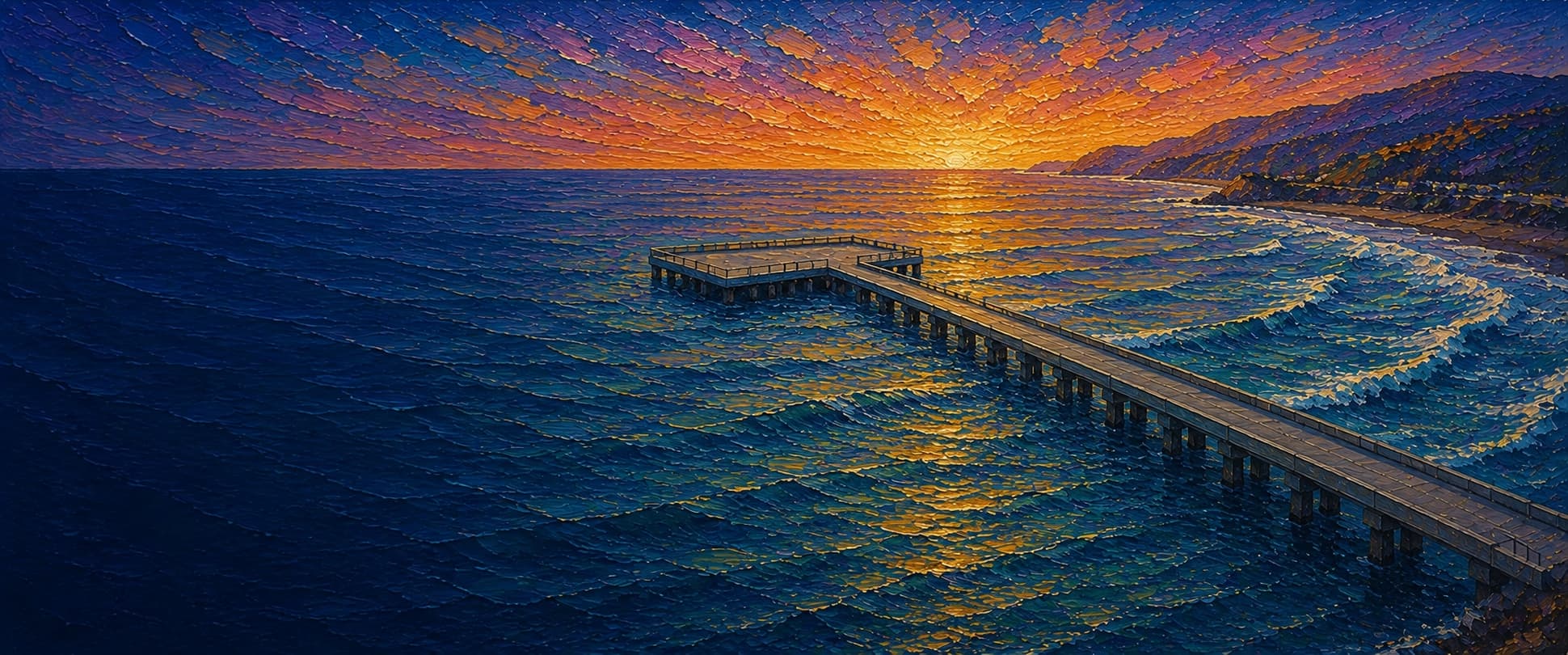
Pacifica Municipal Pier (Rev. Herschell Harkins Memorial Pier)
Pacifica, California

Fishing conditions
Loading…
National Weather Service (api.weather.gov)
Loading…
NOAA CO-OPS predictions, station 9414131
- Sunrise—
- Sunset—
Dawn/dusk and a moving tide (the hour around a high or low) typically bring the most active bite — worth timing a trip around whichever falls closest to first/last light.
Loading…
Loading buoy telemetry…
NOAA National Data Buoy Center
An all-concrete L-shaped public pier on Sharp Park Beach, about 19.5 feet wide for most of its length and widening to roughly 138 feet at the outer end. City and tourism sources describe it as part of a cooperative 1973 project that also supported the city's then-sewer outfall alignment. The City of Pacifica says the pier has reopened after earlier storm/repair closures in past years, but it is currently closed as of June 4, 2026 while emergency investigation and stabilization work proceeds.
Species & regulations
Historically associated with the outer end during summer and fall runs; heavy surf tackle and enough room to land fish matter more here than finesse.
Small hooks with sand crabs, mussel, or worms along the inshore-to-mid-pier edges where the sandy bottom meets piling structure.
Small baited multi-hook rigs or tiny strips of bait fished midwater along the middle half of the pier.
Bottom rigs with worms, clam, or other natural bait on the sandy inshore and mid-pier bottom, especially in colder months.
Historically a heavier-tackle outer-half fish, best approached with larger natural baits on the bottom when current and surf allow.
Simple bottom rigs with worms, clam, or cut bait on the sandy bottom; they are one of the most commonly reported small bottom fish here.
⚠ I found no Pacifica-specific OEHHA site advisory, but white croaker is included in OEHHA's statewide advisory for California coastal locations without site-specific advice. Follow the current species-specific serving guidance before keeping any for food.
Bag/size limits sourced from CDFW's ocean sport fishing regulations — always double-check the current CDFW regs before keeping fish, as rules change.
Moon tracker
Recommended spots
- Historic outer elbow rail — currently inaccessible
 Historic outer-end / salmon and striper water
Pier Fishing in California identifies the crowded outer end as the signature section during salmon runs, and its exposed end still reads as the most open casting water on the structure. This is a historical reference only because the City has kept the pier closed since June 4, 2026.
- Outer straightaway before the elbow — currently inaccessible

 Historic outer approach
The long outer approach gives similar open-water reach without the extreme crowding that historically packed the very end during salmon and striped-bass periods.
- Mid-pier piling line — currently inaccessibleHistoric piling-adjacent perch and baitfish water
The local pier report describes a sandy bottom but heavily encrusted hexagonal pilings loaded with mussels, barnacles, and other forage. That combination makes the mid-pier piling line the clearest structure-driven zone for perch, jacksmelt, and opportunistic predators.
- Inshore sand and surf edge — currently inaccessibleHistoric shallow surf and sand bottom
The report's sandy-bottom description and winter catch history point to this section for surfperch, sanddab, croaker, and occasional flounder, but with shallower water and less casting room than the outer half.
Landmarks
- Beach Boulevard pier entrance / ADA ramp
 access
The City says pier access is via a ramp on the south side of the entrance. The pier itself is currently closed.
- Sharp Park Beach base access
 amenity
City and tourism pages place the pier directly on Sharp Park Beach, with parking and restroom access clustered at the shoreward end.
- Main concrete shaft
 structure
Midpoint on the mapped centerline of the straight approach section. Historically productive for perch, jacksmelt, and other mid-pier species; not currently accessible.
- Outer elbow / widened endstructure
The widened outer end associated with the pier's salmon-era crowding and the deepest water on the structure.
- Outer end closure hazard
 hazard
The City closed the pier on June 4, 2026 after structural damage was found near the base; do not infer any legal access to the exposed outer end.
Vegetation / growth assessment
No current imagery-based kelp or algae interpretation was made. The best source I found describes the bottom around Pacifica Pier as mostly sand, while the hexagonal pilings are heavily encrusted with California mussels, stalked barnacles, and ochre sea stars that create forage habitat for fish and crabs. Because the pier is closed and I did not verify side-specific growth from dated imagery, the zones below should be read as conservative habitat context, not a 2026 visual condition survey.
Piers grow algae, mussels, and barnacles on their pilings and along the deck edges over time — that build-up is what this section tracks. The more growth in a stretch, the easier it is for your hook, sinker, or line to catch on it and get stuck, which is one of the most common ways beginners lose tackle. Heavier growth isn't a reason to avoid a spot — it often holds bait and structure fish like — just expect to snag more and re-tie more often there.
The most growth on Pacifica Municipal Pier (Rev. Herschell Harkins Memorial Pier) is on the left flank (its full length), the right flank (its full length), and the outer end — expect occasional snags there; nothing else on the structure reads heavier.
- Left flank · moderatemoderate growth, expect occasional snags
Historic/structural habitat zone only: piling biofouling is documented, but no current side-specific imagery interpretation was made.
- Right flank · moderatemoderate growth, expect occasional snags
Mirrors the documented piling-encrustation habitat on the opposite side; not a fresh observation of 2026 growth density.
- Outer end · moderatemoderate growth, expect occasional snags
The widened outer end is gridded to the documented platform width. Treated as piling-driven habitat context, not independently verified end-cap vegetation.

Reference sources
- City of Pacifica — Pacifica Municipal Pier
- Visit Pacifica — Pacifica Municipal Pier
- OpenStreetMap Nominatim — Pacifica Municipal Pier geometry search
- OpenStreetMap — Pacifica Municipal Pier way 27524930
- Overpass API — Pacifica Municipal Pier way 27524930
- Pier Fishing in California — Pacifica Pier
- NOAA CO-OPS station metadata API — Pillar Point Harbor 9414131
- NOAA Tides & Currents — Pillar Point Harbor station 9414131
- CDFW — 2026 Ocean Sport Fishing Regulations (PDF)
- CDFW — Ocean Salmon Fishery Information
- CDFW Marine — public pier license exemption
- OEHHA — Fish advisories
- OEHHA — White Croaker species advisory page
- OEHHA — Statewide coastal advisory without site-specific advice