
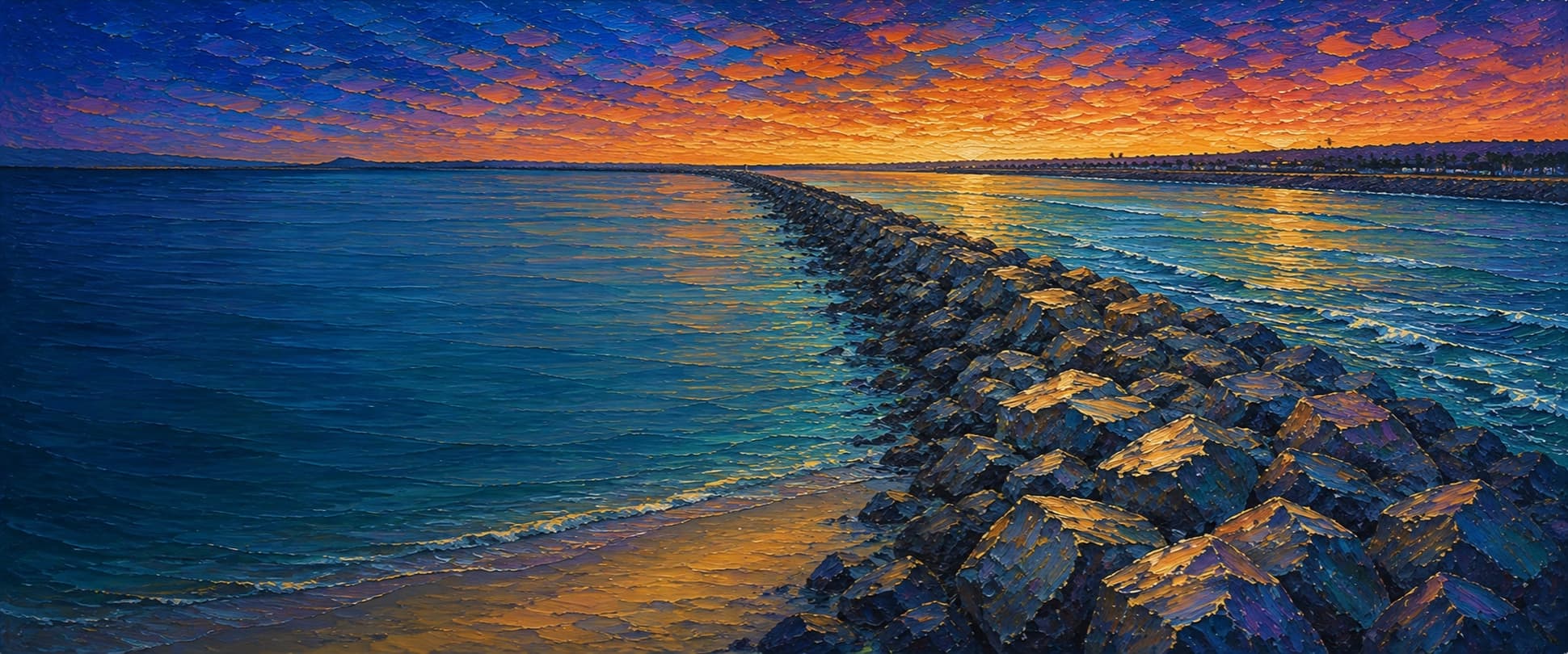
San Diego River Mouth Jetties (Quivira / Middle Jetty)
Ocean Beach / Mission Bay entrance, San Diego, California


Fishing conditions
Loading…
National Weather Service (api.weather.gov)
Loading…
NOAA CO-OPS predictions, station 9410170
- Sunrise—
- Sunset—
Dawn/dusk and a moving tide (the hour around a high or low) typically bring the most active bite — worth timing a trip around whichever falls closest to first/last light.
Loading…
Loading buoy telemetry…
NOAA National Data Buoy Center
Long rubble-mound jetty/levee at the San Diego River mouth, separating the river floodway from the Mission Bay entrance channel. USACE describes the middle jetty as approximately 4,600 ft long; the adjacent Dog Beach sand plug and 1993 overflow-weir project are part of the flood-control system. Uneven armor rock, tidal current, river runoff, and active boat traffic make this a navigation structure rather than an elevated deck.
Species & regulations
Small swimbaits, plastics, or cut bait along the channel-side rocks; avoid casting into navigation traffic.
Live smelt/anchovy or a small swimbait drifted across sandy pockets at the river-mouth end.
Sand crabs, mussel, or bloodworm baits along the beach-side sand/rock transition.
Small pieces of mussel, clam, or shrimp fished near the shallow river-mouth sand edge.
Bag/size limits sourced from CDFW's ocean sport fishing regulations — always double-check the current CDFW regs before keeping fish, as rules change.
Moon tracker
Recommended spots
- Mid-jetty channel edge

 Current seam / channel flank
The middle reach tracks the engineered boundary between river floodway and Mission Bay entrance. Tidal exchange and boat wakes can concentrate bait and predatory fish, but the channel-side rocks offer little recovery room and are not a casual wading spot.
- Quivira-side outer tipOuter head / mixing water
The Quivira end is where the jetty, entrance-channel water, and basin-side current meet. It is the strongest structural target in this draft, but access may be fenced or private and the exposed head is the highest-risk footing.
- Ocean-side inner rock / Dog Beach edgeRock-to-sand transition
The beach-side end is the most reachable section and meets the river-mouth sandbar. Expect shallow, shifting water and strong runoff-related closure risk; fish only when the area is open and conditions are calm enough for secure footing.
Landmarks
- Ocean Beach Dog Beach / Voltaire Street parking
 access
Primary public approach on the Ocean Beach side; use marked paths and obey fencing and closure signs.
- Quivira Way river-mouth accessaccess
Published San Diego Bird Alliance meeting point on the north side of the river mouth; nearby private marina/boatyard areas are not assumed public jetty access.
- San Diego River flood-control channel
 structure
Soft-bottomed, engineered channel constrained by levees and the jetty; flow can change sharply after rain.
- Mission Bay entrance channel
 hazard
Marked navigation water with tidal exchange and vessel wakes; keep clear of the channel and its edge.
- River-mouth runoff / sewage-closure hazardhazard
County and local surf guides warn that runoff and sewage events can close the mouth and adjacent beach; check current beach-water advisories before contact with the water.
Rock + depth formation assessment
CDFW lists Mission Bay Jetty North among public fishing jetties, but this San Diego River/Quivira alignment includes levee, private-marina, and navigation sections whose access can be restricted. A license exemption applies only where the structure meets the public-pier definition and access is open; verify current signs. All size, bag, season, report-card, and closure rules still apply. Do not fish during posted runoff or sewage closures.
The engineering documents support a strong side-to-side contrast: channelized/deeper navigation water on the Mission Bay side, shifting shallow sand and river-mouth water toward Dog Beach, and a current-mixing head at the Quivira end. Without a resolved NOAA sounding query against the actual rock toe, this draft intentionally uses qualitative categories and omits numeric depths.
A jetty's rock pile is the structure — there's no deck, just boulders stacked out into the water. Snags happen when your line or hook drops into a gap between rocks instead of open water. Rock sitting shallow, close to the surface, is the easiest to hang up on, and gets worse as the tide drops and exposes more of it. Rock that gives way to deeper water has less exposed structure to catch on, but a hook that does snag there is harder to pull free. Sandy gaps between rock sections are the clearest, lowest-snag water on a jetty.
The shallowest rock at San Diego River Mouth Jetties (Quivira / Middle Jetty) sits on the ocean-facing flank, mid-structure — that's the highest snag risk here, and it gets worse as the tide drops and exposes more of it. 3 zones here haven't been depth-assessed yet — treat those as unknown, not clear.
- Ocean-facing flank · unverifiednot yet assessed for snag risk
No reliable rock-toe depth classification was independently verified for this interval.
- Channel-facing flank · unverifiednot yet assessed for snag risk
No reliable rock-toe depth classification was independently verified for this interval.
- Channel-facing flank · unverifiednot yet assessed for snag risk
No reliable rock-toe depth classification was independently verified for this interval.
- Ocean-facing flank · sandy pocketsandy gap, lowest snag risk
Dog Beach / river-mouth end; broad sand and shallow shifting water dominate the adjacent edge.
- Ocean-facing flank · shallow bouldershallow rock, highest snag risk — worse as the tide dropsWave run-up
Ocean-facing riprap remains exposed to surf and sand movement; no toe-depth survey was verified.
- Channel-facing flank · mixed droprock into a slope, moderate snag riskCurrent seam / converging flow
Mission Bay entrance/floodway boundary; tidal current and maintained-channel geometry imply a sharper drop than the beach side, but exact depth is unresolved.
- Outer tip · mixed droprock into a slope, moderate snag riskVessel traffic · Current seam / converging flow
Outer head is the likely convergence of channel and river-mouth flow; exposed rock and boat traffic are overriding hazards.

Reference sources
- U.S. Army Corps of Engineers — Mission Bay navigation project
- City of San Diego — 1993 San Diego River overflow-weir council minutes
- San Diego River Context — engineered jetty and estuary
- City of San Diego — Ocean Beach/Dog Beach coastal-resilience appendix
- CDFW — California public fishing piers, jetties, and breakwaters
- CDFW — California recreational ocean fishing regulations
- NOAA Tides & Currents — San Diego station 9410170
- San Diego Bird Alliance — San Diego River Mouth / Quivira Way coordinates
- Swim Guide — Ocean Beach/Dog Beach water-quality context
- OEHHA — California fish consumption advisories