
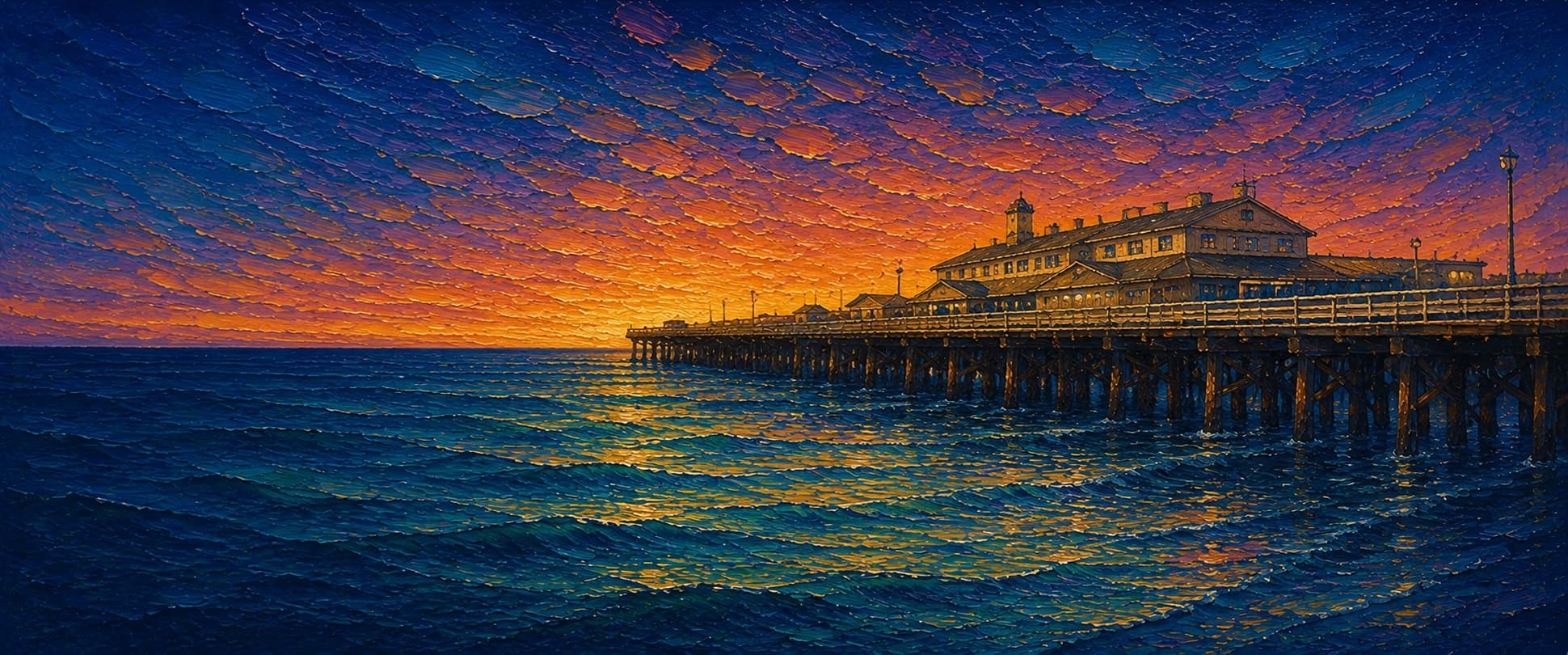
Stearns Wharf
Santa Barbara, California

Fishing conditions
Loading…
National Weather Service (api.weather.gov)
Loading…
NOAA CO-OPS predictions, station 9411340
- Sunrise—
- Sunset—
Dawn/dusk and a moving tide (the hour around a high or low) typically bring the most active bite — worth timing a trip around whichever falls closest to first/last light.
Loading…
Loading buoy telemetry…
NOAA National Data Buoy Center
California's oldest working wooden wharf. The official wharf history describes a 2,300-ft structure covering about 3.8 acres and supported by roughly 2,307 pilings. The deck is a broad, commercial timber wharf rather than a narrow recreational pier; a remnant of the historic railroad wye houses the Sea Center, and the outer section was rebuilt after major fires, most recently the 1998 fire that destroyed about 420 ft of the outer segment.
Species & regulations
Live anchovy, smelt or small mackerel on a legal bottom rig; the local report says halibut remain available at the outer end despite lost mid-wharf access.
Sabiki or small strips of squid through the water column; local reporting lists Pacific mackerel among the dominant catches.
Small live bait or squid fished beside piling structure; the local report notes unusually high kelp-bass numbers but many sub-legal fish.
Mussel, worm or sand-crab bait on a small high/low rig near the permitted rail and piling edge.
Nearly any cut bait or squid on bottom; release is prudent where local water-quality or consumption guidance makes retention undesirable.
⚠ Check OEHHA's current California Coastal Locations and Southern California advisories before eating. The reviewed Southern California white-croaker do-not-consume zone begins south of Santa Monica, so it does not by itself establish a Stearns Wharf closure; statewide guidance may still apply.
Bag/size limits sourced from CDFW's ocean sport fishing regulations — always double-check the current CDFW regs before keeping fish, as rules change.
Moon tracker
Recommended spots
- Outer-end perimeter
 Open outer rail / deepest accessible water
The local pier report says most current pier fishing is concentrated at the end, where the perimeter is open and baitfish, halibut, rays, sharks, and occasional bonito can pass. Cast only from rails currently designated for public fishing.
- Outer piling line

 Piling structure
Stearns is reported to hold kelp bass and perch under the wharf. A controlled bait presentation alongside (not into) pilings offers structure while reducing snag risk on a busy timber deck.
- Mid-wharf open railRestricted commercial-deck transition
Historically productive for halibut, mackerel and croakers, but the report notes that commercial buildings now remove much of the inshore and mid-pier fishing access. Treat this as an opportunity only where signs and rail access allow.
- Shoreward edgeShallow surf / heavy foot traffic
The report specifically identifies the lost surf-area fishery for barred surfperch and the crowding/commercial use makes this the least reliable fishing section. It remains a shallow-water option only where public fishing is posted.
Landmarks
- State Street / Cabrillo Boulevard entrance
 access
Landward entrance at the end of State Street; the wharf offers paid on-wharf parking and marked pedestrian access.
- Dolphin Fountain
 structure
City waterfront page identifies Bud Bottoms' dolphin fountain as the landmark welcoming visitors at the wharf start.
- Santa Barbara Museum of Natural History Sea Center
 amenity
Marine-exhibit and touch-tank facility in the remnant railroad-wye area; not all adjacent deck edges are fishing space.
- Stearns Wharf Bait & Tackleamenity
Official City page lists a bait-and-tackle shop on the wharf; hours and exact storefront can change.
- Outer wharf fishing railaccess
Local fishing report says the outer perimeter is the primary remaining public fishing area because commercial buildings occupy much of the inshore and mid-wharf deck.
- 1998 fire / rebuilt outer section
 hazard
A 1998 fire consumed about 420 ft of the outer wharf; rebuilt decking and active commercial operations mean anglers must follow current barriers and posted closures.
Vegetation / growth assessment
Reviewed sources document a large timber structure and sandy/coastal-harbor setting but do not provide a site-scale vegetation survey. No floating kelp canopy, rooted kelp bed, or piling-scale mussel/algae distribution can be asserted from those sources. Zones are a cautious low-confidence baseline for open water around the deck, not a claim of zero biofouling.
Piers grow algae, mussels, and barnacles on their pilings and along the deck edges over time — that build-up is what this section tracks. The more growth in a stretch, the easier it is for your hook, sinker, or line to catch on it and get stuck, which is one of the most common ways beginners lose tackle. Heavier growth isn't a reason to avoid a spot — it often holds bait and structure fish like — just expect to snag more and re-tie more often there.
Stearns Wharf's heaviest checked growth is still only light, on the left flank (its full length), the right flank (its full length), and the outer end — snag risk from vegetation is low across the structure right now.
- Left flank · lightsome growth, light snag risk
No source reviewed verifies a persistent surface canopy or along-flank vegetation band; timber-piling fouling remains unresolved.
- Right flank · lightsome growth, light snag risk
Same low-confidence open-water baseline; commercial deck shadows and harbor turbidity prevent a defensible algae call.
- Outer end · lightsome growth, light snag risk
Outer width is approximate from the documented broad wharf footprint; no independent end-cap vegetation observation was found.

Reference sources
- Stearns Wharf official history
- City of Santa Barbara — About Stearns Wharf
- Pier Fishing in California — Stearns Wharf
- Pier Fishing in California — Stearns Wharf facts
- California Coastal Trail — Stearns Wharf
- CDFW — Santa Barbara Harbor site summary
- CDFW — General ocean fishing regulations
- NOAA Tides & Currents — Santa Barbara station 9411340
- OEHHA — Fish advisories
- OEHHA — Southern California coastal advisory PDF