
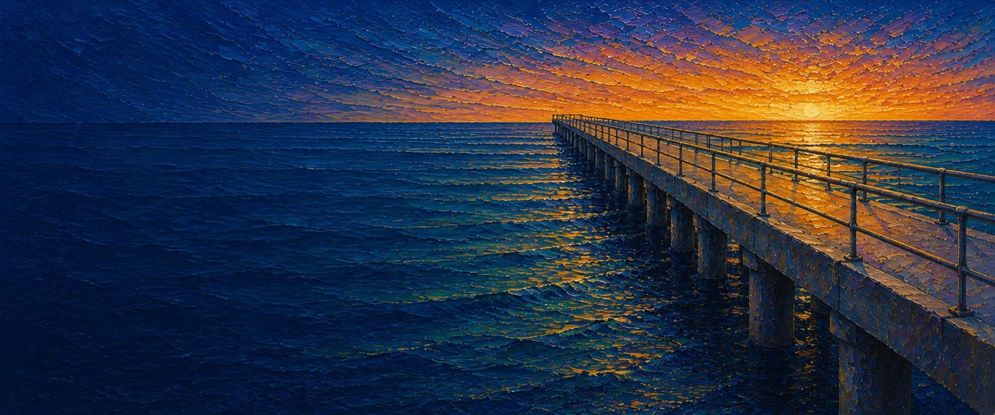
Venice Fishing Pier
Venice, Los Angeles, California

Fishing conditions
Loading…
National Weather Service (api.weather.gov)
Loading…
NOAA CO-OPS predictions, station 9410840
- Sunrise—
- Sunset—
Dawn/dusk and a moving tide (the hour around a high or low) typically bring the most active bite — worth timing a trip around whichever falls closest to first/last light.
Loading…
Loading buoy telemetry…
NOAA National Data Buoy Center
A long, narrow concrete fishing pier extending west into Santa Monica Bay. It is part of the Venice Beach Boardwalk area, has designated wheelchair-accessible areas, and lacks the shops/restaurants found on some larger Southern California piers. The outer end is a broader fishing rail rather than a documented T-end or horseshoe platform; exact width and current barriers should be verified in person.
Species & regulations
Live anchovy/smelt where legally obtained, or squid/natural bait fished near the sandy bottom and piling depressions.
⚠ OEHHA Santa Monica–Seal Beach advisory: limit to 1 serving/week for women 18–49 and children 1–17; 2 servings/week for women 50+ and men 18+ (skinless fillet).
Small baited multi-hook rig or strip of squid through the water column, especially at the outer rail.
⚠ OEHHA: up to 2 servings/week for women 18–49 and children 1–17; up to 4 servings/week for women 50+ and men 18+.
Sand crabs or bloodworms in the shallow inshore surf zone.
⚠ OEHHA: up to 2 servings/week for women 18–49 and children 1–17; up to 2 servings/week for women 50+ and men 18+.
Small hooks with mussel, worm, or sand-crab bait near the inshore rail and piles.
⚠ OEHHA: up to 2 servings/week for both advisory groups (skinless fillet).
Very readily caught on squid or sardine pieces over sandy bottom; release rather than retain.
⚠ OEHHA lists white croaker as DO NOT EAT in the Santa Monica Pier-to-Seal Beach Pier advisory zone because of mercury, DDT, and/or PCBs.
Bag/size limits sourced from CDFW's ocean sport fishing regulations — always double-check the current CDFW regs before keeping fish, as rules change.
Moon tracker
Recommended spots
- Outer-end rail
 Deepest available water / rays and halibut
The local pier report places shovelnose guitarfish and larger rays toward the end, while the greater depth and open rail also make this the strongest location for a halibut presentation or passing mackerel schools.
- Mid-pier piling depressions

 Sandy bottom beside pilings
The fishing report specifically says halibut ambush in depressions between pilings here, alongside white croaker, queenfish, surfperch, sardines, mackerel, and jacksmelt. Fish beside structure while managing snag risk.
- Inshore surf-zone railSurf species
Inshore water is reported as the common zone for corbina, barred and yellowfin croaker, surfperch, and small rays. It is productive for bait fishing but shallow, crowded, and less comfortable for long casts.
- Mid-pier upper-water driftMackerel and small pelagics
Survey and local-report lists include Pacific/chub mackerel, jack mackerel, jacksmelt, sardines, and topsmelt. A small baited multi-hook rig can intercept passing schools, but runs are intermittent.
Landmarks
- Venice Beach / Ocean Front Walk pier entrance
 access
Landward access from the Venice Beach Boardwalk district; coordinates are approximate from the mapped shoreline footprint.
- Concrete deck and accessible fishing areas
 structure
Heal the Bay describes the surface as concrete and notes designated wheelchair-accessible areas.
- Outer-end fishing railstructure
Most seaward rail and the deepest water reachable from the pier; the fishing report places shovelnose guitarfish and larger rays toward the end.
- Inshore surf-zone rail
 hazard
Shallow, wave-churned water and crowded boardwalk access. The report identifies corbina, croakers, surfperch, and small rays inshore.
- Fish-consumption advisory signagehazard
Heal the Bay reports EPA/OEHHA advisory signs at Venice Pier; white croaker, topsmelt, barred sand bass, black croaker, and barracuda are identified as high-risk species.
Vegetation / growth assessment
Current aerial context and the local fishing literature support an open sandy-beach setting. No site-specific, multi-date evidence was found that can distinguish a kelp canopy from shadows or water-tone changes at pier scale, and piling mussel/algae fouling cannot be resolved. The mapped zones are a cautious low-confidence baseline only.
Piers grow algae, mussels, and barnacles on their pilings and along the deck edges over time — that build-up is what this section tracks. The more growth in a stretch, the easier it is for your hook, sinker, or line to catch on it and get stuck, which is one of the most common ways beginners lose tackle. Heavier growth isn't a reason to avoid a spot — it often holds bait and structure fish like — just expect to snag more and re-tie more often there.
Venice Fishing Pier's heaviest checked growth is still only light, on the left flank (its full length), the right flank (its full length), and the outer end — snag risk from vegetation is low across the structure right now.
- Left flank · lightsome growth, light snag risk
No unambiguous floating canopy verified; piling-scale fouling is unresolved.
- Right flank · lightsome growth, light snag risk
Open-water tonal variation may be wave shadow or sediment; not enough evidence to call it vegetation.
- Outer end · lightsome growth, light snag risk
Approximate end width from the narrow pier footprint; no separate canopy observation.

Reference sources
- Wikipedia — Venice Fishing Pier
- Wikidata — Venice Fishing Pier coordinate
- Pier Fishing in California — Venice Fishing Pier
- Heal the Bay — Spotlight on Venice Pier
- NOAA CO-OPS — Santa Monica station 9410840
- CDFW — general ocean sport-fishing regulations
- CDFW — Southern California ocean regulations
- OEHHA — Santa Monica Pier to Seal Beach Pier advisory
- CDFW — public ocean-pier license exemption