
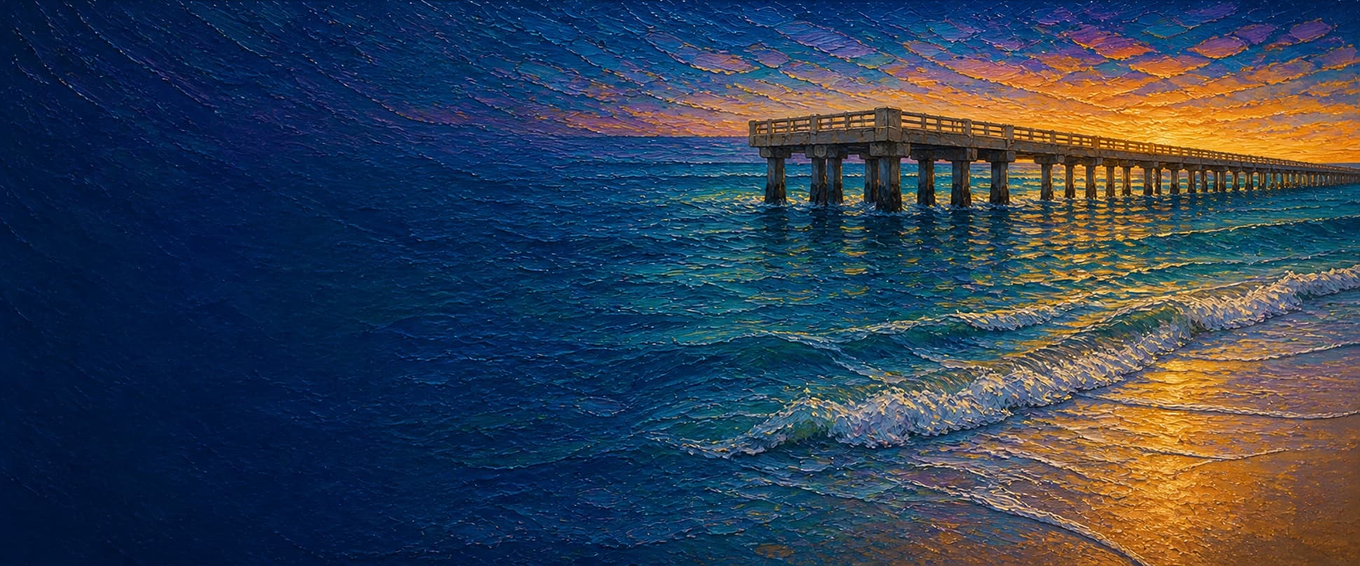
Hermosa Beach Pier
Hermosa Beach, California

Fishing conditions
Loading…
National Weather Service (api.weather.gov)
Loading…
NOAA CO-OPS predictions, station 9410738
- Sunrise—
- Sunset—
Dawn/dusk and a moving tide (the hour around a high or low) typically bring the most active bite — worth timing a trip around whichever falls closest to first/last light.
Loading…
Loading buoy telemetry…
NOAA National Data Buoy Center
Municipal concrete pier, 20 ft wide, extending from Pier Plaza/One Pier Avenue. A local fishing report describes a roughly 50-by-58-ft end platform. The present pier is not the historic Hermosa Biltmore Hotel: that separate Strand property was demolished in 1969.
Species & regulations
The local report recommends a live-bait presentation in mid-pier water and at the reported reef gap; use only legal gear and verify current rules.
⚠ OEHHA's Santa Monica Pier-to-Seal Beach Pier advisory lists California halibut: up to 1 serving/week for women 18–49 and children 1–17, or up to 2 servings/week for women 50+ and men 18+.
The local report recommends sand crabs, ghost shrimp, bloodworms, fresh mussels, or clams in the inshore surf zone.
⚠ OEHHA lists surfperch at up to 4 servings/week for women 18–49 and children 1–17, or up to 2 servings/week for women 50+ and men 18+ for this coastal advisory area.
The local report identifies corbina inshore and recommends live sand crabs, with ghost shrimp, bloodworms, fresh mussels, or clams as alternatives.
⚠ OEHHA lists California corbina at up to 2 servings/week for either advisory population for this coastal advisory area.
The local report recommends Sabiki-style bait rigs from the end platform, or a squid strip and split shot during a light bite.
⚠ OEHHA lists Pacific chub mackerel at up to 4 servings/week for either advisory population for this coastal advisory area.
The local report places kelp bass among reef-cast catches from the outer half; cast toward, not into, the reported quarry rock to limit snags.
⚠ OEHHA lists kelp bass at up to 1 serving/week for women 18–49 and children 1–17, or up to 1 serving/week for women 50+ and men 18+ for this coastal advisory area.
The local report lists white croaker in mid-pier water; release is the prudent choice because of the consumption advisory.
⚠ OEHHA says do not eat white croaker from Santa Monica Beach south of Santa Monica Pier to Seal Beach Pier, which includes Hermosa Beach Pier.
Bag/size limits sourced from CDFW's ocean sport fishing regulations — always double-check the current CDFW regs before keeping fish, as rules change.
Moon tracker
Recommended spots
- Right-side reef gap ("halibut alley")
 Reef gap / halibut
Regulars cited by the local report identify a break in the right-side reef about three quarters out as a fish funnel. The report places the artificial quarry-rock reef around the outer 650 ft, roughly 65 ft from the pier edge.
- Mid-pier piling water

 Piling structure
The local report lists white croaker, jacksmelt, several surfperches, salema, and halibut from mid-pier water, and documents heavy mussel growth on the pilings. Fish close enough to use structure, while allowing for snag risk.
- Outer-half rail toward reefReef-edge casting
The reported quarry-rock reef is an attractant for larger and structure-associated species; the report says casting toward it can produce bass, rockfish, sheephead, perch, salema, and kelpfish. Expect snags and verify local conditions.
- End-platform railPelagic baitfish
The local report identifies the end as the customary location for Pacific mackerel, jack mackerel, bonito, and baitfish rigs, with warm-water visitors possible. Rating reflects documented opportunity, not a guarantee of an active school.
- Inshore surf zoneSurf species
The local report specifically identifies barred surfperch, yellowfin croaker, spotfin croaker, and corbina near the beach. This is a species-focused choice, not a claim of superior depth or current bite.
Landmarks
- Pier Avenue / Pier Plaza entrance
 access
Public access at One Pier Avenue; the City lists the pier as open daily 6 a.m.–10 p.m., subject to weather closures.
- Pier restrooms
 amenity
Restrooms are listed by the City among the pier amenities.
- Los Angeles County lifeguard headquarters
 structure
The California Coastal Commission places the headquarters adjacent to the pier and Pier Plaza.
- Outer end platformstructure
Local report describes a 50-by-58-ft end platform; mapped point is the west end of the OSM pier polygon.
- Swimmer and surfer conflict area
 hazard
A local account reports near-conflicts between fishing lines and people entering or leaving the water beneath the pier; use extra care around the surf side and obey lifeguard direction.
Vegetation / growth assessment
A 2018 local fishing report documents heavy mussel growth on the pilings and says kelp and seaweed are often present near the end by late summer. The report also describes a surrounding quarry-rock reef that can support structure-associated life. Kelpwatch's statewide map is a useful regional canopy dataset, but this review did not obtain a time-series or imagery interpretation sufficient to map current canopy at pier scale; the zones therefore record the reported seasonal/piling signal only and are low confidence.
Piers grow algae, mussels, and barnacles on their pilings and along the deck edges over time — that build-up is what this section tracks. The more growth in a stretch, the easier it is for your hook, sinker, or line to catch on it and get stuck, which is one of the most common ways beginners lose tackle. Heavier growth isn't a reason to avoid a spot — it often holds bait and structure fish like — just expect to snag more and re-tie more often there.
The most growth on Hermosa Beach Pier is on the left flank, mid-structure — expect occasional snags there; nothing else on the structure reads heavier.
- Left flank · noneunconfirmed, not yet assessed
No side-specific vegetation observation was independently verified here; gridded as checked, none confirmed.
- Right flank · noneunconfirmed, not yet assessed
No side-specific vegetation observation was independently verified here; gridded as checked, none confirmed.
- Left flank · moderatemoderate growth, expect occasional snags
Heavy mussel growth is reported on pier pilings, but the source does not assign a side or quantify coverage. This side is used only so the UI can display the documented structure; it is not a measured flank boundary.
- Outer end · lightsome growth, light snag risk
Kelp and seaweed are reported near the pier end by late summer. No current, repeat-date canopy delineation was verified, so this is a conservative seasonal marker rather than a current coverage estimate.

Reference sources
- City of Hermosa Beach — Hermosa Beach Pier
- OpenStreetMap — Hermosa Beach Pier, way 49605145
- California Coastal Commission — CDP 5-12-219 staff report
- Pier Fishing in California — Hermosa Beach Pier
- NOAA Tides & Currents — King Harbor station 9410738
- CDFW — Current Southern California ocean recreational fishing regulations
- CDFW Marine — public-pier license exemption
- OEHHA — Santa Monica Pier to Seal Beach Pier fish-consumption advisory
- Kelpwatch — kelp canopy map and data-source information
- City of Hermosa Beach — General Plan existing conditions (Biltmore history)