
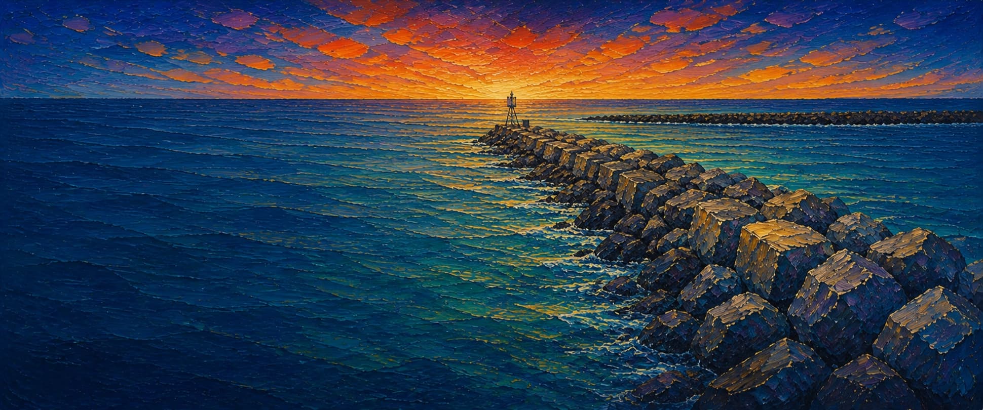
Marina del Rey South Jetty (Ballona Creek Jetty)
Marina del Rey / Playa del Rey, California


Fishing conditions
Loading…
National Weather Service (api.weather.gov)
Loading…
NOAA CO-OPS predictions, station 9410660
- Sunrise—
- Sunset—
Dawn/dusk and a moving tide (the hour around a high or low) typically bring the most active bite — worth timing a trip around whichever falls closest to first/last light.
Loading…
Loading buoy telemetry…
NOAA National Data Buoy Center
Rubble-mound entrance jetty on the south side of Marina del Rey's navigation channel, extending approximately 2,000 ft into Santa Monica Bay. It is an uneven, wave-washed rock walk rather than an elevated deck; the inner end is beside Ballona Creek and the Pacific Avenue bridge, while the outer end approaches the marked harbor entrance and detached breakwater.
Species & regulations
Live smelt/anchovy, small swimbaits or a drifted baitfish along the sand-rock edge and current seam.
⚠ Check current OEHHA Southern California coastal guidance before consuming locally caught halibut.
Small swimbaits, squid strips or live bait around the rock edge; avoid casting into the navigation channel.
⚠ Check current OEHHA coastal guidance before keeping or eating kelp bass.
Sand crabs, mussel or bloodworm baits fished in the inner sandy pockets.
Sand crabs or bloodworms on the beach-facing side near the creek transition.
Sabiki or small metal jigs when schools move through the entrance current.
Bag/size limits sourced from CDFW's ocean sport fishing regulations — always double-check the current CDFW regs before keeping fish, as rules change.
Moon tracker
Recommended spots
- Mid-jetty current seam

 Channel-edge structure
Local Ballona Creek/jetty reports repeatedly identify the jetties for kelp bass, sand bass, mackerel and halibut. The middle reach balances current and structure, but boat wakes and uneven footing lower confidence and safety.
- Outer entrance edgeEntrance drop / moving water
Near the harbor entrance, moving water and the rock toe provide the strongest structural contrast on this jetty. Fish only when the crest is dry enough to retreat; do not cast into the marked channel.
- Outer tip mixing zoneTip / converging current
The tip is where ocean swell, entrance current and both jetty lines converge, making it the most promising fish-holding geometry but also the most exposed and least forgiving place to stand.
- Ballona Creek transition rocksEstuary-to-surf transition
The creek mouth and beach edge create a current and sand transition reachable without committing to the full rock walk. Expect shallow, turbid water and snag-prone riprap rather than a guaranteed bite.
- Inner ocean-facing flankShallow rock-to-sand edge
The exposed side beside the beach offers a sand/rock seam suitable for surfperch, croaker or a short halibut cast, while remaining closer to the bridge escape route.
Landmarks
- Pacific Avenue / 62nd Street bridge access
 access
Published coastal-trail access point at the southwest end of the bridge; foot and bicycle access continues toward the beach and jetty.
- Ballona Creek mouth
 hazard
Tidal/flood-control channel meets the ocean here. Current, floating debris and sudden water-quality closures are possible after rain or spills.
- South jetty armor-rock crest
 structure
The fishable structure is the riprap crest and its waterline; footing is irregular and can be slick on a rising tide or swell.
- South jetty entrance lighthazard
Outer approach to the marked Marina del Rey entrance. Keep casts and body position clear of the navigation channel and retreat if waves wash the crest.
- North jetty across the entrancestructure
The paired north jetty is a separate structure with its own Via Marina/Ocean Front Walk access; this record covers the south jetty only.
Rock + depth formation assessment
Los Angeles County says licensed fishing is permitted at Marina del Rey's north and south jetties. Unlike a public ocean pier, do not assume the license exemption applies: carry a valid California sport-fishing license, and verify current posted access, closures and Ballona Creek water-quality advisories.
The south jetty is a continuous armor-rock crest with a shallower beach/creek transition at its base and more energetic, deeper-feeling entrance water toward the outer tip. The sources reviewed describe shoaling at both jetties and general harbor depths of 15–21 ft, but do not provide toe soundings along this exact rock line; numeric zone depths are intentionally omitted.
A jetty's rock pile is the structure — there's no deck, just boulders stacked out into the water. Snags happen when your line or hook drops into a gap between rocks instead of open water. Rock sitting shallow, close to the surface, is the easiest to hang up on, and gets worse as the tide drops and exposes more of it. Rock that gives way to deeper water has less exposed structure to catch on, but a hook that does snag there is harder to pull free. Sandy gaps between rock sections are the clearest, lowest-snag water on a jetty.
The shallowest rock at Marina del Rey South Jetty (Ballona Creek Jetty) sits on the channel-facing flank near the base — that's the highest snag risk here, and it gets worse as the tide drops and exposes more of it.
- Ocean-facing flank · sandy pocketsandy gap, lowest snag risk
Near the Ballona Creek bridge, riprap meets tidal-channel and beach sand; expect shallow, turbid water and changing shoals.
- Ocean-facing flank · mixed droprock into a slope, moderate snag riskCurrent seam / converging flow
Channel-facing flank has current and a sharper edge than the beach side, but no defensible point sounding was extracted.
- Ocean-facing flank · deep waterdeep water at the rocks, less exposed but harder to free gear
Approaches the marked entrance channel; navigation depth is maintained nearby, but the rock toe itself is unsounded in this draft.
- Channel-facing flank · shallow bouldershallow rock, highest snag risk — worse as the tide drops
Beach-facing side reads as a shallow rock-and-sand shelf, especially near the inner half.
- Channel-facing flank · mixed droprock into a slope, moderate snag risk
Outer ocean flank is more exposed and likely drops away faster, but no numeric depth is claimed.
- Outer tip · mixed droprock into a slope, moderate snag riskWave run-up · Current seam / converging flow
Tip combines entrance current and open-ocean swell; treat as a moving-water zone, not a stable depth contour.

Reference sources
- Los Angeles County — LA County Fishing (Marina del Rey north and south jetties)
- Los Angeles County — Marina del Rey Fishing
- Los Angeles County — Marina del Rey Navigation & Regulations
- Los Angeles County — Marina del Rey History
- California Coastal Trail — Ballona Creek bridge and jetty
- CDFW — California public fishing piers, jetties and breakwaters
- CDFW — General Ocean Fishing Regulations
- CDFW — 2026 California Ocean Sport Fishing Regulations
- OEHHA — California fish consumption advisories
- NOAA Tides & Currents — Los Angeles station 9410660
- 33 CFR 162.200 — Marina del Rey restricted area