
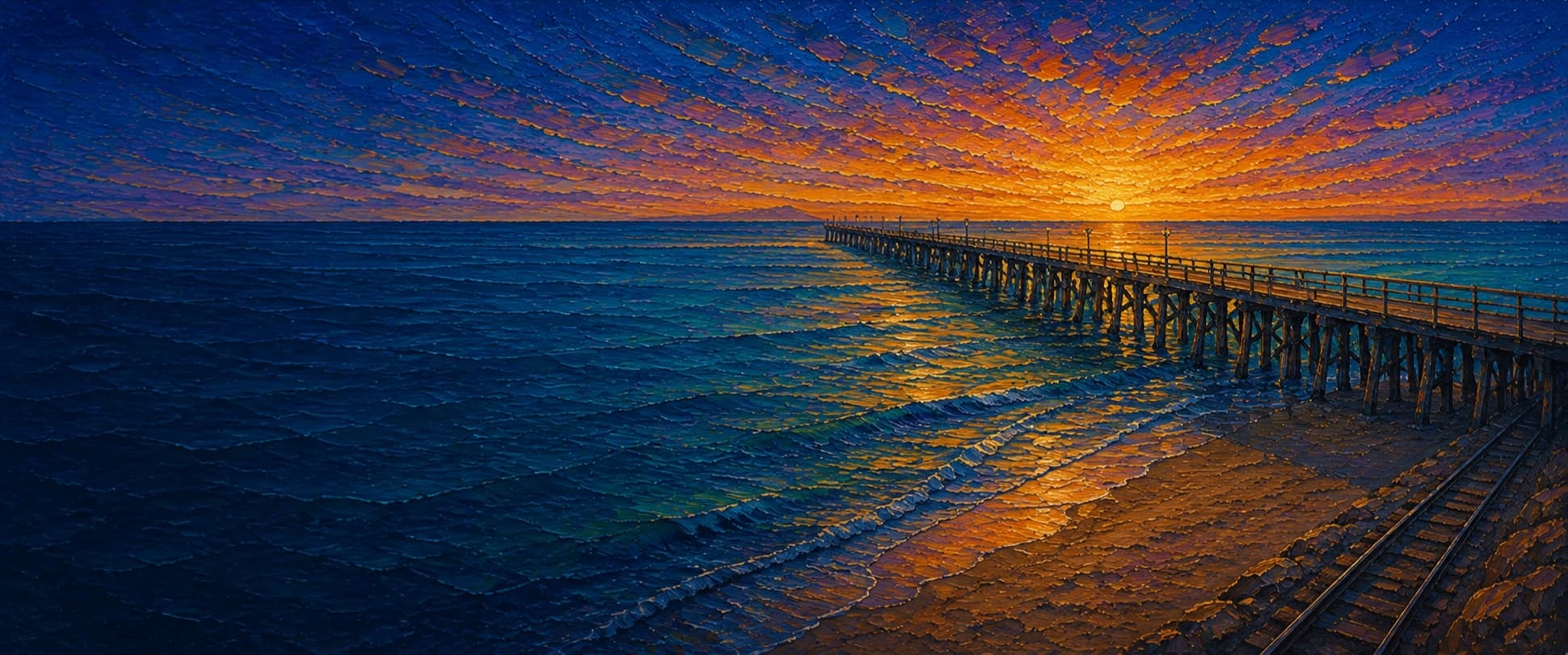
San Clemente Pier (Municipal Pier)
San Clemente, California

Fishing conditions
Loading…
National Weather Service (api.weather.gov)
Loading…
NOAA CO-OPS predictions, station 9410580
- Sunrise—
- Sunset—
Dawn/dusk and a moving tide (the hour around a high or low) typically bring the most active bite — worth timing a trip around whichever falls closest to first/last light.
Loading…
Loading buoy telemetry…
NOAA National Data Buoy Center
A 1,296-foot wooden municipal fishing and pleasure pier extending from the Pier Bowl over a sandy open-coast beach. The deck includes a mid-pier lifeguard tower, bait-and-tackle and restaurant facilities, restrooms, and an outer end used for pelagic fishing; OSM geometry does not establish a distinct T-end platform.
Species & regulations
Sand crabs, mussel, clams, or bloodworms on bottom in the inshore surf zone.
⚠ OEHHA's South of Seal Beach Pier to San Mateo Point advisory applies; check the current advisory before keeping fish.
Mussel, sand crabs, or anchovy pieces fished over the sandy bottom.
⚠ OEHHA lists yellowfin croaker in the South of Seal Beach Pier–San Mateo Point advisory; sensitive groups should follow the posted serving limits.
Sand crabs, bloodworms, or small mussel baits in the wash and alongside pilings.
⚠ OEHHA includes surfperch in the regional advisory; follow current serving guidance.
Sand crabs or bloodworms fished in the shallow wash near the base.
⚠ OEHHA includes California corbina in the regional advisory; follow current serving guidance.
Sabiki rigs, small spoons, or anchovy/squid strips, especially at the outer end.
⚠ OEHHA includes Pacific chub mackerel in the regional advisory; follow current serving guidance.
Sabiki or small bait rigs around mid-pier and outer-pier schools.
⚠ OEHHA lists jacksmelt as a higher-frequency choice in the regional advisory; follow current serving guidance.
Live smelt/anchovy or a strip of mackerel fished near bottom around piling depressions.
⚠ OEHHA includes California halibut in the South of Seal Beach Pier–San Mateo Point advisory; follow current serving guidance.
Bag/size limits sourced from CDFW's ocean sport fishing regulations — always double-check the current CDFW regs before keeping fish, as rules change.
Moon tracker
Recommended spots
- Outer pier pelagic rail
 Mackerel and bonito water
Pier Fishing reports the far end as the most reliable area for Pacific mackerel, jack mackerel, seasonal bonito, fall barracuda, and occasional yellowtail. Small metal lures, Sabiki rigs, or strips of anchovy are practical starting points.
- Base surf zone

 Sandy surf species
Pier Fishing in California lists corbina, spotfin and yellowfin croaker, sargo, barred surfperch, guitarfish, and rays inshore. Sand crabs, mussel, bloodworms, or anchovy baits fit this shallow sandy water.
- Mid-pier piling linePiling structure
The local report documents heavily mussel-covered pilings and mid-pier catches of white croaker, queenfish, halibut, sand bass, surfperch, sculpin, salema, and jacksmelt. Fish beside the structure to reduce snags.
- Outer end railDeepest available pier water
The end offers the longest casting angles and the pier report's broadest species list, including halibut, mackerel, bonito and sharks/rays. Depth is only described as moderate, so this is not a claim of a surveyed drop-off.
Landmarks
- Pier Bowl / Avenida Del Mar entrance
 access
Beach-level access at the foot of Avenida Del Mar; the city FAQ lists pier hours as 4 a.m.–midnight.
- San Clemente Pier Metrolink / Pacific Surfliner station
 amenity
Rail station immediately beside the pier approach; same-day paid parking and accessible platform are documented by Pacific Surfliner.
- Lifeguard Tower Zeroamenity
San Clemente Marine Safety identifies the main lifeguard tower on the pier; staffing is normally from morning through dusk.
- Bait-and-tackle shop, restaurant, and restroomsamenity
Facilities listed by OCTA and California Coastal Trail descriptions; point is an approximate mid-pier placement.
- Main Beach sandy surf zone
 structure
The beach under and around the pier is sandy, producing the inshore surf species described in local fishing reports.
- Pier rail / wave and casting hazard
 hazard
City rules prohibit overhead casting, diving, and jumping; use caution at the exposed outer end during surf and high-wind conditions.
Vegetation / growth assessment
The pierfishing report documents heavy mussel growth on pilings and occasional seaweed fouling in hoop nets, but there is no direct repeat imagery or bathymetry in this draft to map a reliable left/right vegetation gradient. No rooted kelp canopy is documented for the pier itself. Treat the zones as a conservative piling-biofouling baseline, not a measured algae map.
Piers grow algae, mussels, and barnacles on their pilings and along the deck edges over time — that build-up is what this section tracks. The more growth in a stretch, the easier it is for your hook, sinker, or line to catch on it and get stuck, which is one of the most common ways beginners lose tackle. Heavier growth isn't a reason to avoid a spot — it often holds bait and structure fish like — just expect to snag more and re-tie more often there.
The most growth on San Clemente Pier (Municipal Pier) is on the outer end — expect occasional snags there; nothing else on the structure reads heavier.
- Left flank · noneunconfirmed, not yet assessed
No side-specific vegetation observation was independently verified here; gridded as checked, none confirmed.
- Left flank · noneunconfirmed, not yet assessed
No side-specific vegetation observation was independently verified here; gridded as checked, none confirmed.
- Right flank · noneunconfirmed, not yet assessed
No side-specific vegetation observation was independently verified here; gridded as checked, none confirmed.
- Right flank · noneunconfirmed, not yet assessed
No side-specific vegetation observation was independently verified here; gridded as checked, none confirmed.
- Right flank · lightsome growth, light snag risk
Sandy-bottom baseline; piling mussels are documented, but flank-specific intensity was not directly observed.
- Left flank · lightsome growth, light snag risk
No independently sourced flank contrast; use as a cautious baseline only.
- Outer end · moderatemoderate growth, expect occasional snags
Outer-end piling/seaweed fouling is plausible from the fishing report, but the end-cap width and intensity are approximate.

Reference sources
- OpenStreetMap San Clemente Pier geometry
- City of San Clemente Pier Bowl Specific Plan (1928 history)
- SanClemente.com pier history and length
- OCTA San Clemente Pier daycation
- San Clemente Marine Safety
- San Clemente city FAQ and pier rules
- Pier Fishing in California — San Clemente Pier
- CDFW general ocean fishing regulations
- CDFW public-pier license guidance
- CDFW 2026 ocean regulations booklet
- NOAA Newport Beach station 9410580
- OEHHA South of Seal Beach Pier to San Mateo Point advisory
- Kelpwatch methodology
- CDFW aerial kelp surveys