
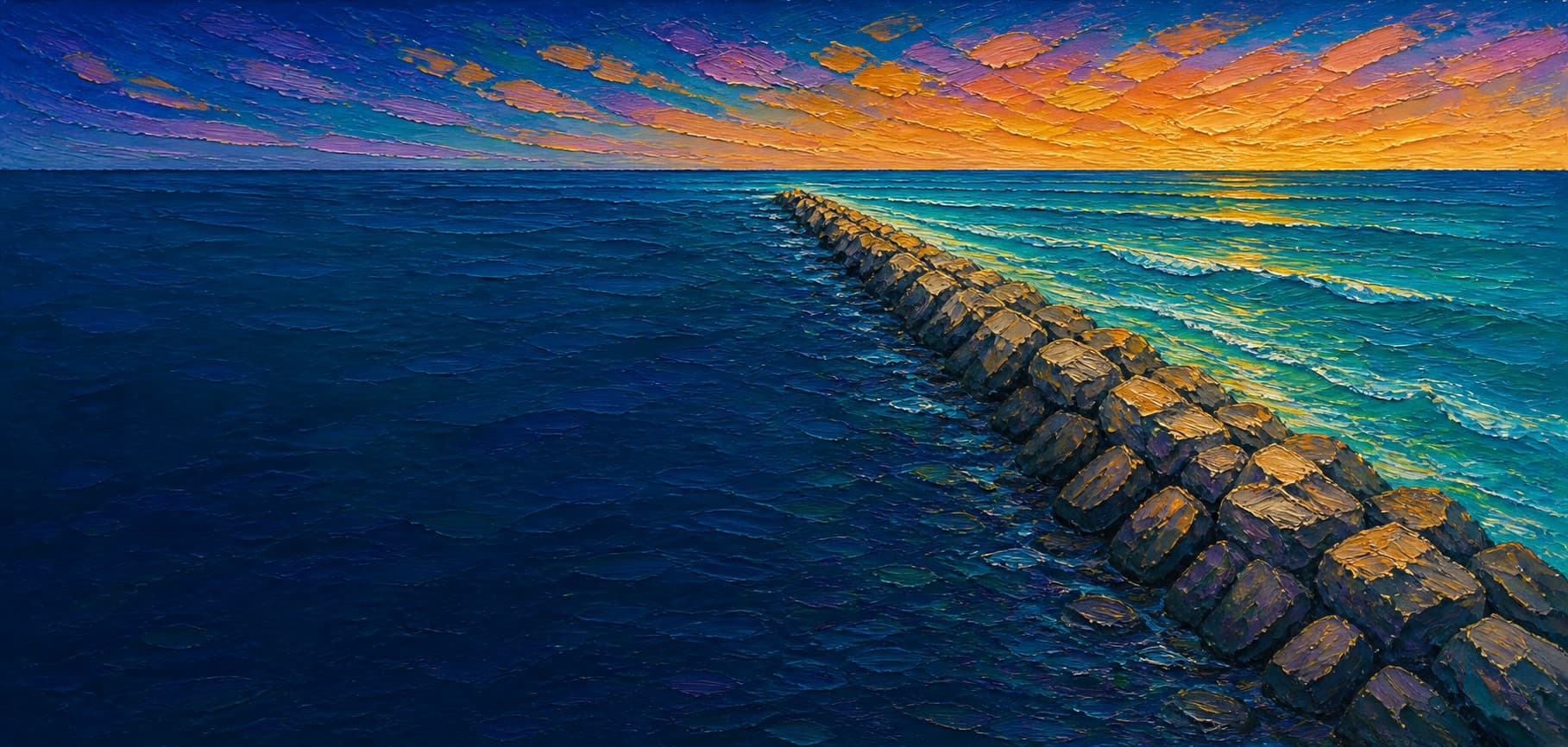
San Gabriel River Jetty East (Seal Beach side)
Seal Beach / Alamitos Bay entrance, California


Fishing conditions
Loading…
National Weather Service (api.weather.gov)
Loading…
NOAA CO-OPS predictions, station 9410660
- Sunrise—
- Sunset—
Dawn/dusk and a moving tide (the hour around a high or low) typically bring the most active bite — worth timing a trip around whichever falls closest to first/last light.
Loading…
Loading buoy telemetry…
NOAA National Data Buoy Center
Long rubble-mound/stone jetty at the east side of the Alamitos Bay entrance and San Gabriel River mouth. A City of Seal Beach vulnerability report says the east jetty extends about 200 feet beyond the city shoreline; satellite and OSM geometry show a roughly 3,750-foot shore-to-tip fishing walk over uneven riprap.
Species & regulations
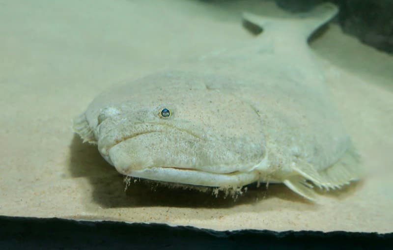
Live smelt/anchovy or small swimbaits along the inner shelf and the outer tip current seam.
Photo: RatioTile · CC BY-SA 4.0
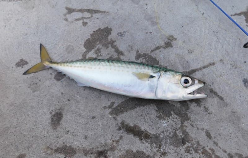
Sabiki or multi-hook bait rigs around the outer half when bait schools sweep the channel mouth.
Photo: Ruff tuff cream puff · CC0 (public domain dedication)
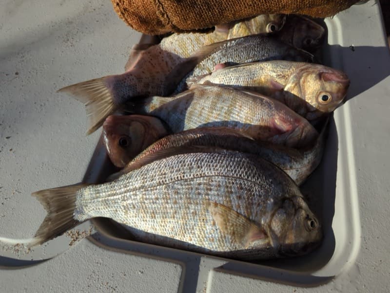
Mussels, sand crabs, or bloodworms on the ocean-side shallows and sand pockets.
Photo: Matt Muir (iNaturalist) · CC BY 4.0
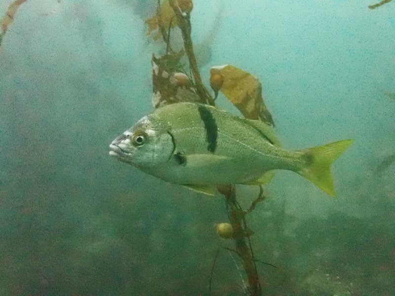
Small hooks with mussel, ghost shrimp, or market shrimp tight to the rocks on the outer half.
Photo: Donald Davesne (iNaturalist) · CC BY 4.0
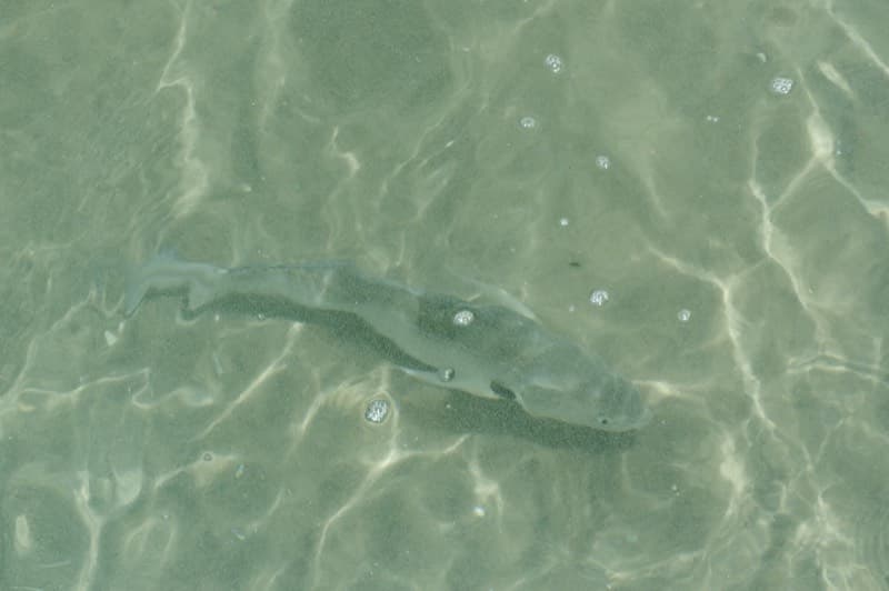
Ghost shrimp, mussel, or clam on the calmer beach/ocean side near the inner and mid shelf.
Photo: Donald Davesne (iNaturalist) · CC BY 4.0
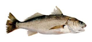
Easy on cut bait and shrimp, especially inside water, but not a strong keep recommendation here.
⚠ The east jetty sits immediately northwest of Seal Beach Pier. I treated ocean-facing catches here as within OEHHA's Santa Monica Beach south of Santa Monica Pier to Seal Beach Pier advisory zone, where white croaker are listed as do not eat. If you keep fish from the inside/channel side, compare the adjacent South of Seal Beach Pier to San Mateo Point advisory too.
Photo: Milton Love, Marine Sportfish Identification (CDFG) · Public domain
Bag/size limits sourced from CDFW's ocean sport fishing regulations — always double-check the current CDFW regs before keeping fish, as rules change.
Moon tracker
Recommended spots
- Tip mixing zone
 Head / converging current seam
This is the best structural meeting point on the jetty: ocean face, channel edge, and the end pocket all converge here. NOAA ENC soundings show about 2.6 m immediately off the head and deeper 4.4 m water farther seaward, which is the strongest depth change available from shore.
- Mid jetty channel wall

 Current edge / deeper inside water
The river-mouth/harbor side keeps the sharper drop for most of the walk. Nearby NOAA ENC soundings in this reach run roughly 4.1-4.6 m, making it the most consistent deeper-water side short of the tip.
- Outer ocean-side edgeOuter rock edge over mixed sand
Imagery shows cleaner open-water exposure here than on the inner half, while nearby soundings on the ocean side rise into the 2.3-2.6 m range. Good compromise between access and depth without standing on the very end.
- Inner ocean-side shelfShallow rock-to-sand transition
NOAA soundings and imagery both show the broadest shallow shelf on the beach/ocean side here, making it a defensible croaker, surfperch, and short-hop halibut zone without committing to the full outer walk.
Landmarks
- Rivers End Park / 1st Street access
 access
Most straightforward public approach to the east jetty from Seal Beach.
- First Street beach parking area
 amenity
Closest practical parking for walking the jetty; verify current fees and posted hours on site.
- Inner riprap transition
 structure
Point where beach-grade access gives way to more irregular armor rock and slower footing.
- Channel-side drop and boat traffic
 hazard
Darker, deeper channel edge on the river/harbor side with current, wakes, and less recovery room if you slip.
- Outer head / wave-washed tiphazard
Best depth change on the structure, but also the most exposed footing and the longest retreat if swell or tide rises.
Rock + depth formation assessment
This draft covers the east jetty only. CDFW lists Alamitos Bay Jetty East as a public fishing jetty, so the jetty segment itself is treated as license-exempt under the public-pier rules. CDFW separately notes that the adjacent rock wall touching land still requires a California sport fishing license. Verify current posted access/signage before fishing.
The east jetty does not read as one uniform wall. The ocean-facing side starts with a shallow boulder-and-sand shelf, then gains moderate depth toward the outer third. The channel-facing side keeps materially deeper water much closer to the rocks for most of the walk. The tip is the clearest depth-change and current-mixing area, but the numeric depths below come from nearby NOAA ENC soundings rather than a purpose-built jetty survey.
A jetty's rock pile is the structure — there's no deck, just boulders stacked out into the water. Snags happen when your line or hook drops into a gap between rocks instead of open water. Rock sitting shallow, close to the surface, is the easiest to hang up on, and gets worse as the tide drops and exposes more of it. Rock that gives way to deeper water has less exposed structure to catch on, but a hook that does snag there is harder to pull free. Sandy gaps between rock sections are the clearest, lowest-snag water on a jetty.
The shallowest rock at San Gabriel River Jetty East (Seal Beach side) sits on the ocean-facing flank near the base — that's the highest snag risk here, and it gets worse as the tide drops and exposes more of it. 1 zone here hasn't been depth-assessed yet — treat that one as unknown, not clear.
- Channel-facing flank · unverifiednot yet assessed for snag risk
No reliable rock-toe depth classification was independently verified for this interval.
- Ocean-facing flank · shallow boulder · ~3 ftshallow rock, highest snag risk — worse as the tide drops
Ocean/Seal Beach side. Nearby NOAA soundings on this half include roughly 0.6-0.9 m, and imagery shows the palest, widest sand shelf here.
- Ocean-facing flank · mixed drop · ~8 ftrock into a slope, moderate snag risk
Outer ocean flank. Nearby soundings rise into roughly 2.3-2.6 m and the pale shelf narrows, so this reads deeper than the inner beach side but not like the channel wall.
- Channel-facing flank · deep water · ~14 ftdeep water at the rocks, less exposed but harder to free gear
River/harbor side. NOAA ENC soundings near this reach include about 4.1-4.6 m, consistent with the entrance-channel drop tracking close to the rocks.
- Channel-facing flank · deep water · ~11 ftdeep water at the rocks, less exposed but harder to free gear
Outer channel flank remains the deeper side. Nearby soundings include roughly 3.3-4.0 m adjacent to the outer jetty before the head transitions into the tip pocket.
- Outer tip · mixed drop · ~9 ftrock into a slope, moderate snag risk
NOAA ENC soundings show about 2.6 m immediately west of the head and about 4.4 m farther seaward. The rounded 9 ft value represents the closest soundings to the end itself, not the deepest water offshore.

Reference sources
- OpenStreetMap way - east jetty geometry
- OpenStreetMap Nominatim - Rivers End Park
- City of Seal Beach vulnerability assessment
- Los Cerritos Wetlands sediment dynamics technical report
- CDFW public piers, jetties, and breakwaters list
- Long Beach Municipal Code 16.04.100
- Seal Beach Title 9 municipal code PDF
- NOAA Tides and Currents - station 9410660 Los Angeles
- NOAA ENC Direct to GIS help
- NOAA Office of Coast Survey - ENC Direct soundings in meters
- NOAA ENC harbor sounding query for San Gabriel River mouth
- Esri World Imagery
- Pier Fishing in California - Seal Beach Pier
- Pier Fishing in California - Los Alamitos Bay Jetty report
- Western Outdoor News surf fishing round up
- CDFW Southern Region ocean regulations summary
- CDFW general ocean finfish regulations
- OEHHA advisory - Santa Monica Beach south of Santa Monica Pier to Seal Beach Pier
- OEHHA advisory - South of Seal Beach Pier to San Mateo Point
- Access California - Seal Beach / San Gabriel River Trail access