
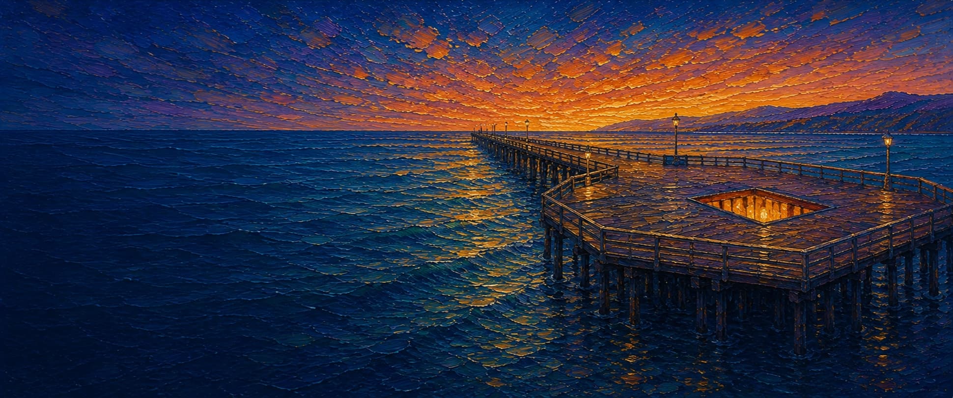
Ventura Pier (San Buenaventura Pier)
Ventura, California

Fishing conditions
Loading…
National Weather Service (api.weather.gov)
Loading…
NOAA CO-OPS predictions, station 9411189
- Sunrise—
- Sunset—
Dawn/dusk and a moving tide (the hour around a high or low) typically bring the most active bite — worth timing a trip around whichever falls closest to first/last light.
Loading…
Loading buoy telemetry…
NOAA National Data Buoy Center
Historic wooden Douglas-fir pier, originally the Ventura Wharf/San Buenaventura Wharf. The current configuration is about 1,600 ft long, with a roughly 25.5-ft deck that widens to about 67.7 ft at the outer octagonal section. A large 20-by-30-ft cutout/fish well near the end is lit at night; benches, restrooms, fish-cleaning tables, bait/tackle, and food businesses serve the deck. The city reopened storm-damaged sections on June 29, 2024.
Species & regulations
Live anchovy, smelt, sardine, or a strip of mackerel fished near bottom around mid-pier pilings and the lit end well.
⚠ OEHHA's Ventura Harbor-to-Santa Monica Pier advisory lists California halibut; follow the current OEHHA meal-frequency guidance before consuming.
Sabiki or small-feather rigs, spoons, or squid strips around the outer rail, especially dawn, dusk, or when bait schools show.
⚠ OEHHA's Ventura Harbor-to-Santa Monica Pier advisory lists Pacific chub mackerel; check the current serving guidance.
Sand crabs, bloodworms, mussel, or shrimp fished in the shallow wash near the base.
⚠ OEHHA's statewide coastal guidance includes barred surfperch; follow the current serving recommendation.
Sand crabs, mussel, clams, or bloodworms on bottom in the inshore surf zone.
⚠ OEHHA lists yellowfin croaker in the Ventura Harbor-to-Santa Monica Pier advisory; check current meal limits.
Squid, shrimp, mussel, clams, or almost any bottom bait in the mid-pier zone.
⚠ OEHHA's Ventura Harbor-to-Santa Monica Pier guidance allows no more than 2 servings/week for men 18+ and women 46+, and no more than 1 serving/week for women 18–45 and children 1–17; consult the current advisory before eating.
Bag/size limits sourced from CDFW's ocean sport fishing regulations — always double-check the current CDFW regs before keeping fish, as rules change.
Moon tracker
Recommended spots
- Lit outer cutout fish well
 Night structure / baitfish concentration
The documented 20-by-30-ft opening lets anglers fish among pilings, and strong searchlights attract baitfish and larger predators. It is an unusually specific piece of structure compared with the otherwise sandy pier.
- Outer end railPelagics, sharks, and rays
Pier Fishing in California calls the end the main area for larger leopard, spiny dogfish, soupfin, thresher and seven-gill sharks, bat rays, and the best odds for mackerel, jack mackerel, barracuda, and occasional bonito. Late-summer/fall kelp can add cover, but is not guaranteed.
- Inshore surf zone

 Barred surfperch and croaker water
Pier Fishing in California identifies barred surfperch as the leading inshore fish, with yellowfin croaker, leopard sharks, and thornback rays over the sandy littoral bottom. Sand crabs, mussel, shrimp, or bloodworms are sensible bottom baits.
- Mid-pier bottom driftMixed croaker, queenfish, and halibut water
Local reporting places white croaker (tomcod/roncador), queenfish, halibut, kelp bass, salema, butterfish, leopard sharks, guitarfish, and bat rays in the middle section. Fish close to, but not directly into, the piling line.
Landmarks
- Ventura Pier entrance (750 E Harbor Blvd)
 access
City-listed address and shore access. Posted gate hours are 6:30 a.m.–10:00 p.m.; verify current conditions before a night trip.
- San Buenaventura State Beach
 amenity
Sandy beach surrounding the pier and its parking/shore facilities.
- Ventura Promenade and Omer Rains Coastal Bikewayaccess
Oceanfront walkway and bike path connecting the pier toward Surfers' Point and the Ventura River Trail.
- Fish-cleaning tables and restroomsamenity
Cleaning stations and restrooms are documented along the pier; use only designated bait-prep areas.
- Outer cutout fish well / searchlights
 structure
Large opening among the pilings near the end, illuminated at night and documented as a baitfish-attracting feature.
- Storm-exposed outer section
 hazard
The outer pier has suffered repeated winter-storm closures and damage; obey any barricades or posted city restrictions.
Vegetation / growth assessment
The local pier-fishing account documents a good growth of mussels on the pilings and says considerable kelp and seaweed can occur toward the end, usually in late summer through fall. No authoritative source reviewed here maps a persistent canopy or gives side-specific coverage, so the zones are deliberately low-confidence qualitative placeholders rather than a claim of surveyed density.
Piers grow algae, mussels, and barnacles on their pilings and along the deck edges over time — that build-up is what this section tracks. The more growth in a stretch, the easier it is for your hook, sinker, or line to catch on it and get stuck, which is one of the most common ways beginners lose tackle. Heavier growth isn't a reason to avoid a spot — it often holds bait and structure fish like — just expect to snag more and re-tie more often there.
The most growth on Ventura Pier (San Buenaventura Pier) is on the right flank, mid-structure, the left flank, mid-structure, and the outer end — expect occasional snags there; nothing else on the structure reads heavier.
- Left flank · noneunconfirmed, not yet assessed
No side-specific vegetation observation was independently verified here; gridded as checked, none confirmed.
- Left flank · noneunconfirmed, not yet assessed
No side-specific vegetation observation was independently verified here; gridded as checked, none confirmed.
- Right flank · noneunconfirmed, not yet assessed
No side-specific vegetation observation was independently verified here; gridded as checked, none confirmed.
- Right flank · noneunconfirmed, not yet assessed
No side-specific vegetation observation was independently verified here; gridded as checked, none confirmed.
- Right flank · moderatemoderate growth, expect occasional snags
Mussel growth on pilings is documented, but the exact flank and along-pier density were not mapped; moderate is a cautious structure-adjacent reading.
- Left flank · moderatemoderate growth, expect occasional snags
Same documented piling substrate; no source supports a left/right asymmetry.
- Outer end · moderatemoderate growth, expect occasional snags
Seasonal kelp/seaweed toward the end is reported for late summer through fall, but not as a permanent mapped canopy.

Reference sources
- City of Ventura — Ventura Pier
- City of Ventura — Ventura Pier Interpretive Panels
- Wikipedia — Ventura Pier (coordinates, dimensions, history, facilities)
- Pier Fishing in California — Ventura Pier
- NOAA CO-OPS — Tide Predictions at Ventura 9411189
- CDFW — California Recreational Ocean Fishing Regulations
- CDFW — 2026 Ocean Sport Fishing Regulations PDF
- OEHHA — Fish advisories
- OEHHA — Ventura Harbor to Santa Monica Pier advisory PDF
- Kelpwatch.org — kelp canopy map
- CDFW — Aerial Kelp Surveys